
Related Images


Download:
| Tiny | 170x128 | View | Download |
| Small | 340x256 | View | Download |
| Medium | 680x512 | View | Download |
| Original | 795x598 | View | Download |
This image was acquired from
wikimedia. It was marked as Public Domain or CC0 and is free to use. To verify, go to the source and check the information there.
Looking for more info about this image?
Try a Google Reverse Image Search for it.
Try a Google Reverse Image Search for it.
Keywords from Image Description:
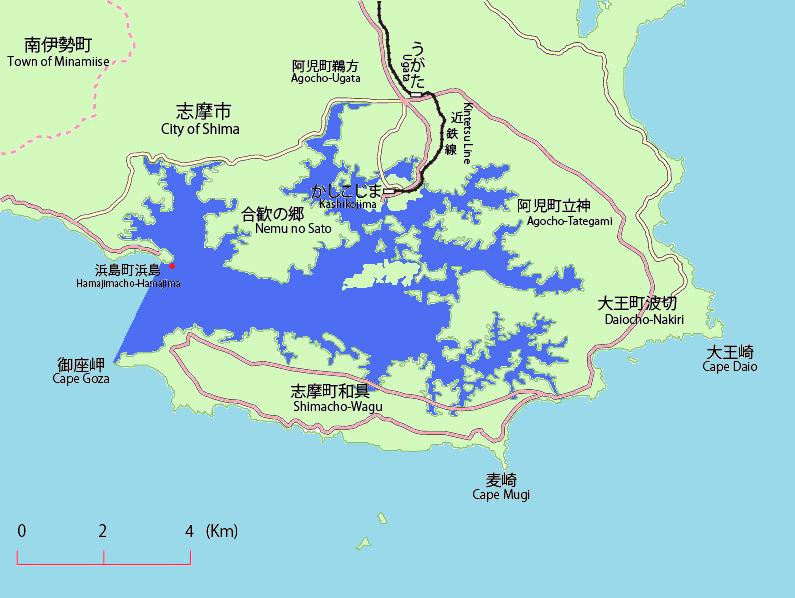
Map of Yadori. en This is the map of Yadori island in Shima Mie Japan Red is Yadori island Bule is Ago Bay Aqua is Philippine Sea Pink is Japan Route Yellow is Mie prefectural road ja own Miyuki Meinaka This map is based on File Ago Bay Map Maps of Shima Mie Islands of Mie prefecture