Related Images


Download:
| Tiny | 116x128 | View | Download |
| Small | 232x256 | View | Download |
| Medium | 465x512 | View | Download |
| Large | 931x1024 | View | Download |
| Original | 1712x1883 | View | Download |
This image was acquired from
wikimedia. It was marked as Public Domain or CC0 and is free to use. To verify, go to the source and check the information there.
Looking for more info about this image?
Try a Google Reverse Image Search for it.
Try a Google Reverse Image Search for it.
Keywords from Image Description:
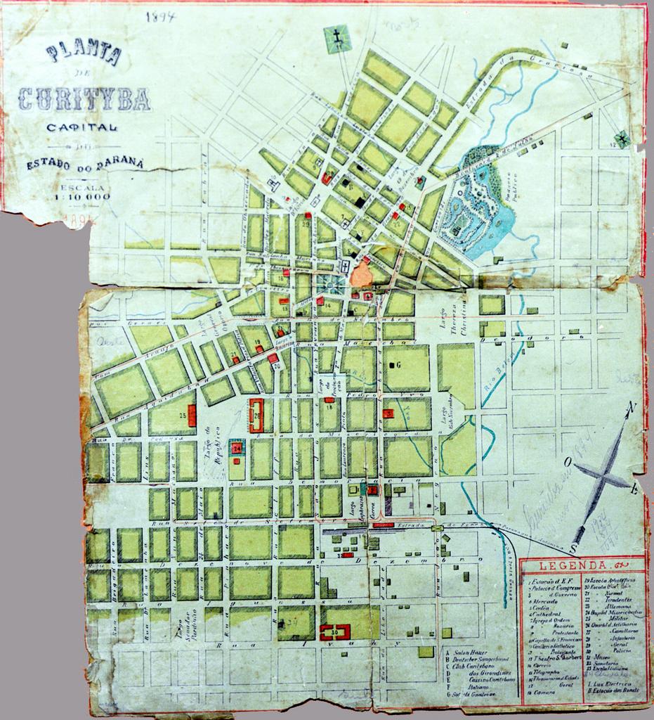
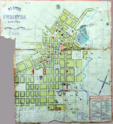
Mapa Curitiba CR. en Map of the City of Curitiba Highlighted in red for the trolley lines pt Mapa da Cidade de Curitiba Destaque em vermelho para as linhas de bondes Acervo Ricardo Melo Araujo IPPUC Instituto de Pesquisa Planejamento Urbano de Curitiba author PDBrazilmedia PDold Tramway maps of Brazil Old maps of Curitiba