
Related Images
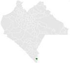
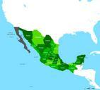

Download:
| Tiny | 174x128 | View | Download |
| Small | 349x256 | View | Download |
| Medium | 698x512 | View | Download |
| Large | 1397x1024 | View | Download |
| Original | 5459x4000 | View | Download |
This image was acquired from
wikimedia. It was marked as Public Domain or CC0 and is free to use. To verify, go to the source and check the information there.
Looking for more info about this image?
Try a Google Reverse Image Search for it.
Try a Google Reverse Image Search for it.
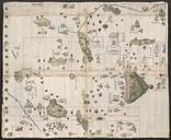
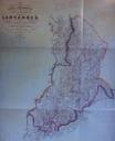
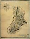
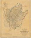
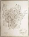
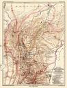
Keywords from Image Description:
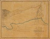
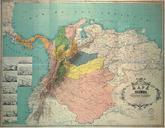
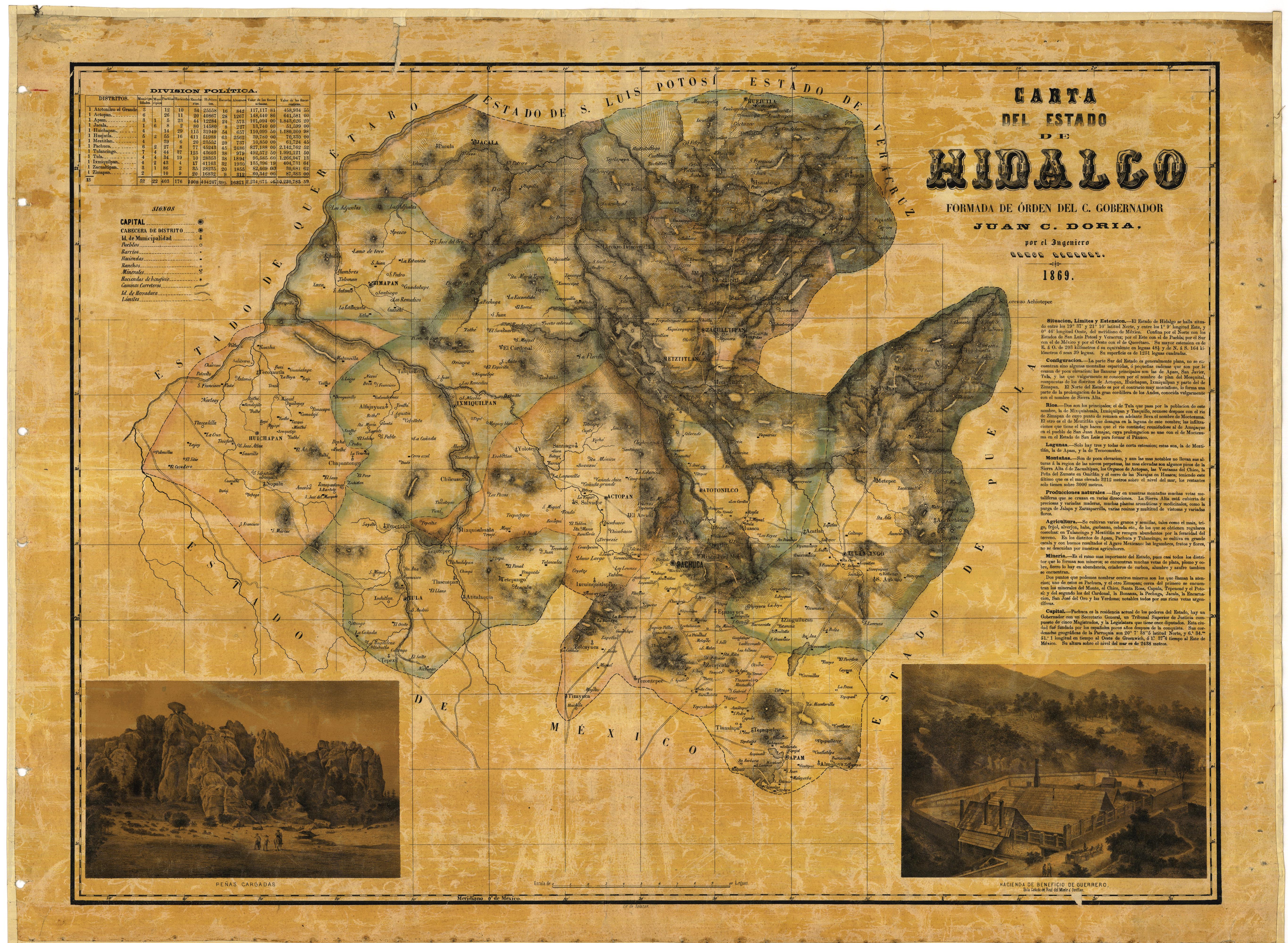
Mapa del Estado de Hidalgo . es Primer mapa del Estado de Hidalgo levantado por el gobernador Juan Doria en siap sagarpa gob mx Mapoteca Manuel Orozco Berra Ramon Almaraz other versions PDold Uploaded with History of Hidalgo Maps of the history of Mexico