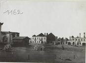
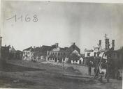
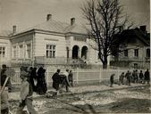
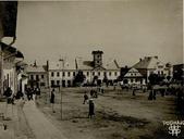
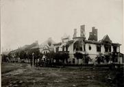
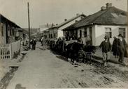
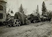
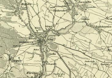
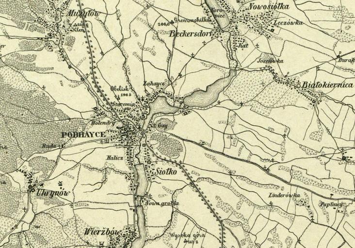
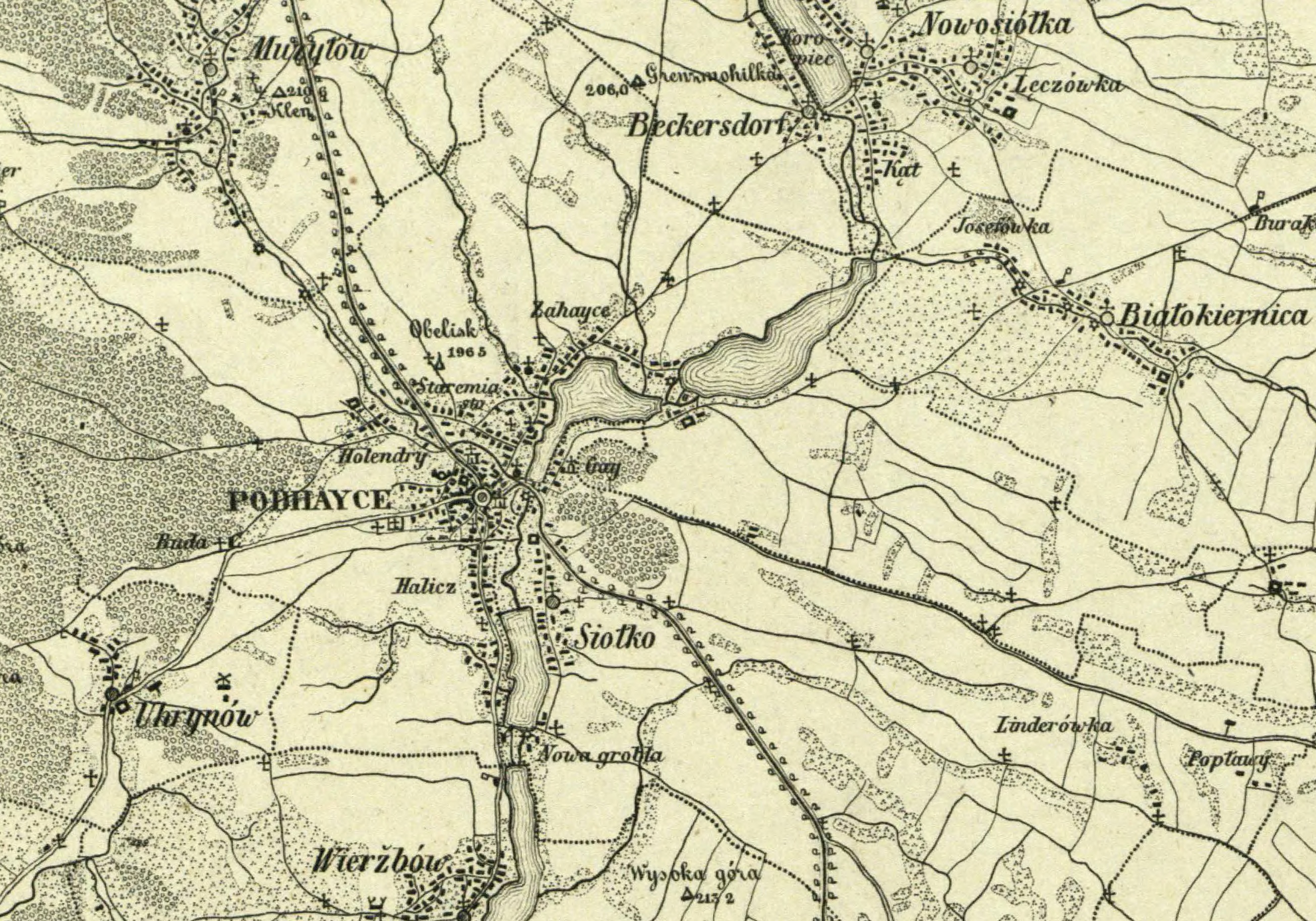
Related Images
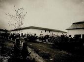


Download:
| Tiny | 182x128 | View | Download |
| Small | 365x256 | View | Download |
| Medium | 731x512 | View | Download |
| Large | 1463x1024 | View | Download |
| Original | 2610x1826 | View | Download |
This image was acquired from
wikimedia. It was marked as Public Domain or CC0 and is free to use. To verify, go to the source and check the information there.
Looking for more info about this image?
Try a Google Reverse Image Search for it.
Try a Google Reverse Image Search for it.
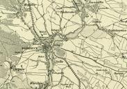
Keywords from Image Description:
Mapa Podhajce . pl Fragment mapy Bl Umgebungen von Podhayce Zotniki Manasteryska und Buczacz uwzgldniajcy Podhajce najblisz okolic org pl id from publication rcin org pl Carl von Kummersberg Marked Public Domain by Repozytorium Cyfrowe Instytutw Naukowych Custom marker PDold PD Uploaded with Pidhaitsi Raion Maps of