Download:
| Tiny | 147x128 | View | Download |
| Small | 295x256 | View | Download |
| Medium | 591x512 | View | Download |
| Large | 1183x1024 | View | Download |
| Original | 3792x3282 | View | Download |
This image was acquired from
wikimedia. It was marked as Public Domain or CC0 and is free to use. To verify, go to the source and check the information there.
Looking for more info about this image?
Try a Google Reverse Image Search for it.
Try a Google Reverse Image Search for it.
Keywords from Image Description:
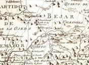
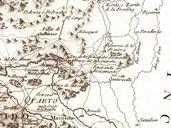
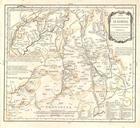
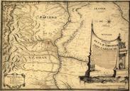
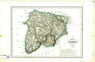
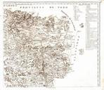
Mapa provincia salamanca sureste siglo XVIII. es Mapa geogrfico de la provincia de Salamanca hoja en el que se distinguen sus Partidos Quartos Sexmos Rodas Campos Concejos las Villas Sueltas por Toms Lpez jcyl es cmd id Salamanca Provincia Mapas generales Creator Toms Lpez PDScan PDoldauto Uploaded with History of the province

