
Related Images


This image was acquired from
wikimedia. It was marked as Public Domain or CC0 and is free to use. To verify, go to the source and check the information there.
Looking for more info about this image?
Try a Google Reverse Image Search for it.
Try a Google Reverse Image Search for it.
Keywords from Image Description:
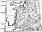
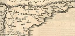
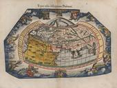
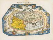
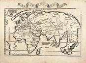
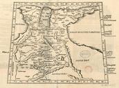
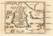
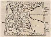
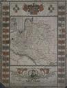
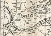
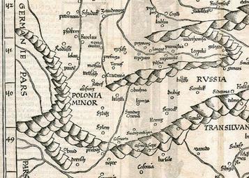
Mapa Wegier Polski Prus Woloszczyzny . czwarte strassburskie wydanie ptolemejskiej mapy Waldseemllera r.zamieszczone wydaniu dziela Claudii Ptolemaei Geographicae enarrationis.. en fragment of Poland Hungary and Germany map Claudii Ptolemaei Geographicae enarrationis by Martin Waldseemller published in Strassburg Martin Waldseemller