
Related Images


Download:
| Tiny | 191x128 | View | Download |
| Small | 383x256 | View | Download |
| Original svg | 751x501 | View | Download |
| Original as jpg | 751x501 | View | Download |
This image was acquired from
wikimedia. It was marked as Public Domain or CC0 and is free to use. To verify, go to the source and check the information there.
Looking for more info about this image?
Try a Google Reverse Image Search for it.
Try a Google Reverse Image Search for it.
Keywords from Image Description:
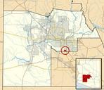
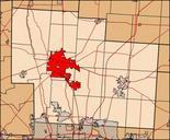
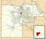
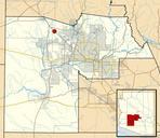
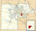
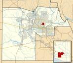
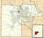
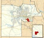
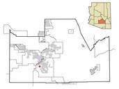
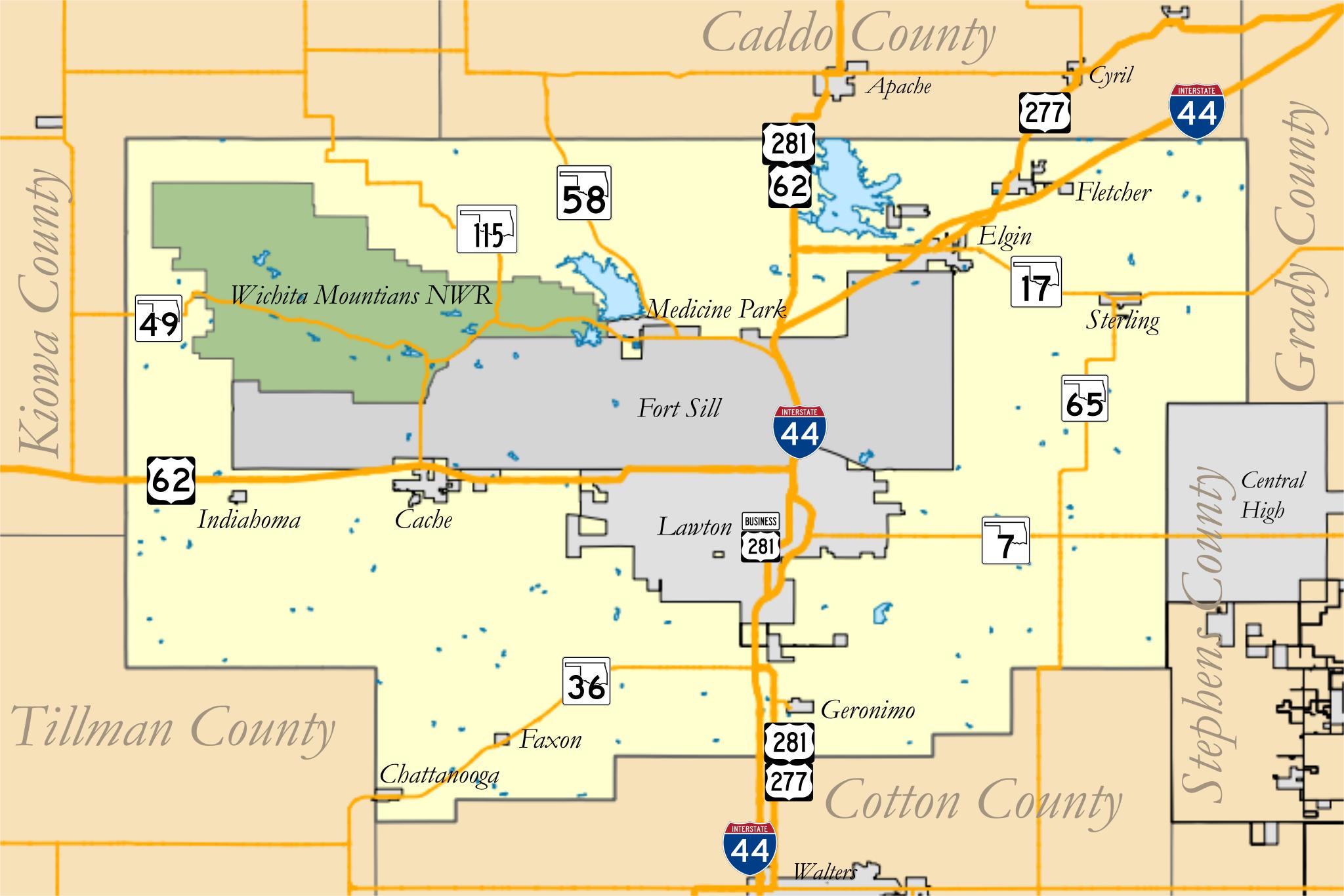
Mapcomanchecountyoklahoma.svg en map of Comanche County Oklahoma Data county shapes city boundaries lakes and road data provided by geo ou edu Refuge shapefile provided by US Fish and Wildlife Service own Crimsonedge Cczero Comanche County Oklahoma