
Related Images


Download:
| Tiny | 141x128 | View | Download |
| Small | 282x256 | View | Download |
| Medium | 565x512 | View | Download |
| Large | 1130x1024 | View | Download |
| Original tiff | 4939x4473 | View | Download |
| Original as jpg | 4939x4473 | View | Download |
This image was acquired from
wikimedia. It was marked as Public Domain or CC0 and is free to use. To verify, go to the source and check the information there.
Looking for more info about this image?
Try a Google Reverse Image Search for it.
Try a Google Reverse Image Search for it.
Keywords from Image Description:
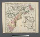
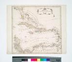
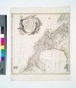
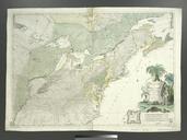
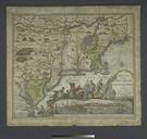
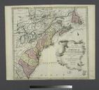
Mappa geographica Americae Septentrionalis ad emendatiora exemplaria adhuc edita jussu Acad. reg. scient. et eleg. litt. descripta. pars. II NYPL b. en Shows names and locations of various Indian tribes Covers colonies from St Lawrence Gulf to Lake Superior and James Bay to Georgia From Euler's Atlas geographicus omnes orbis terrarum