
Related Images


Download:
| Tiny | 131x128 | View | Download |
| Original gif | 231x225 | View | Download |
| Original as jpg | 231x225 | View | Download |
This image was acquired from
wikimedia. It was marked as Public Domain or CC0 and is free to use. To verify, go to the source and check the information there.
Looking for more info about this image?
Try a Google Reverse Image Search for it.
Try a Google Reverse Image Search for it.
Keywords from Image Description:
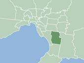
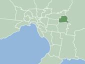
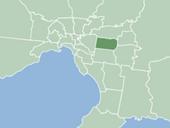
MapSantaAna. en City Map of Santa Ana own User Ericsaindon Ericsaindon en This is map showing the boundaries of Santa Ana California in respect to Orange County California created the image and donate all rights to the public for its creation Original upload log en ftcg page en MapSantaAna July bytes Ericsaindon en