
Related Images
Download:
| Tiny | 148x128 | View | Download |
| Small | 296x256 | View | Download |
| Medium | 592x512 | View | Download |
| Original svg | 940x812 | View | Download |
| Original as jpg | 940x812 | View | Download |
This image was acquired from
wikimedia. It was marked as Public Domain or CC0 and is free to use. To verify, go to the source and check the information there.
Looking for more info about this image?
Try a Google Reverse Image Search for it.
Try a Google Reverse Image Search for it.
Keywords from Image Description:
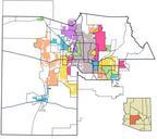
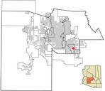
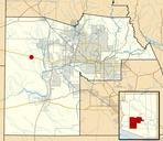
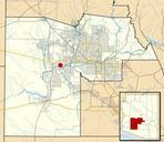
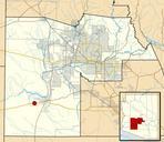
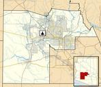
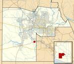
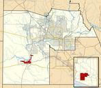
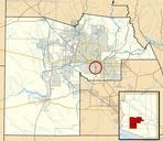
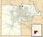
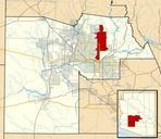
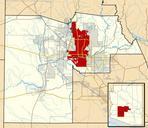
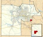
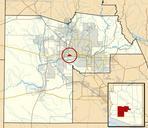
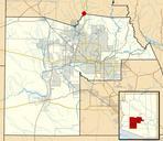
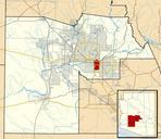
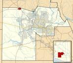
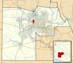
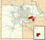
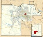
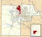
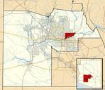
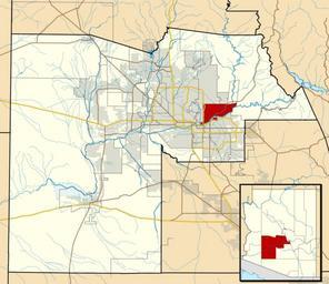
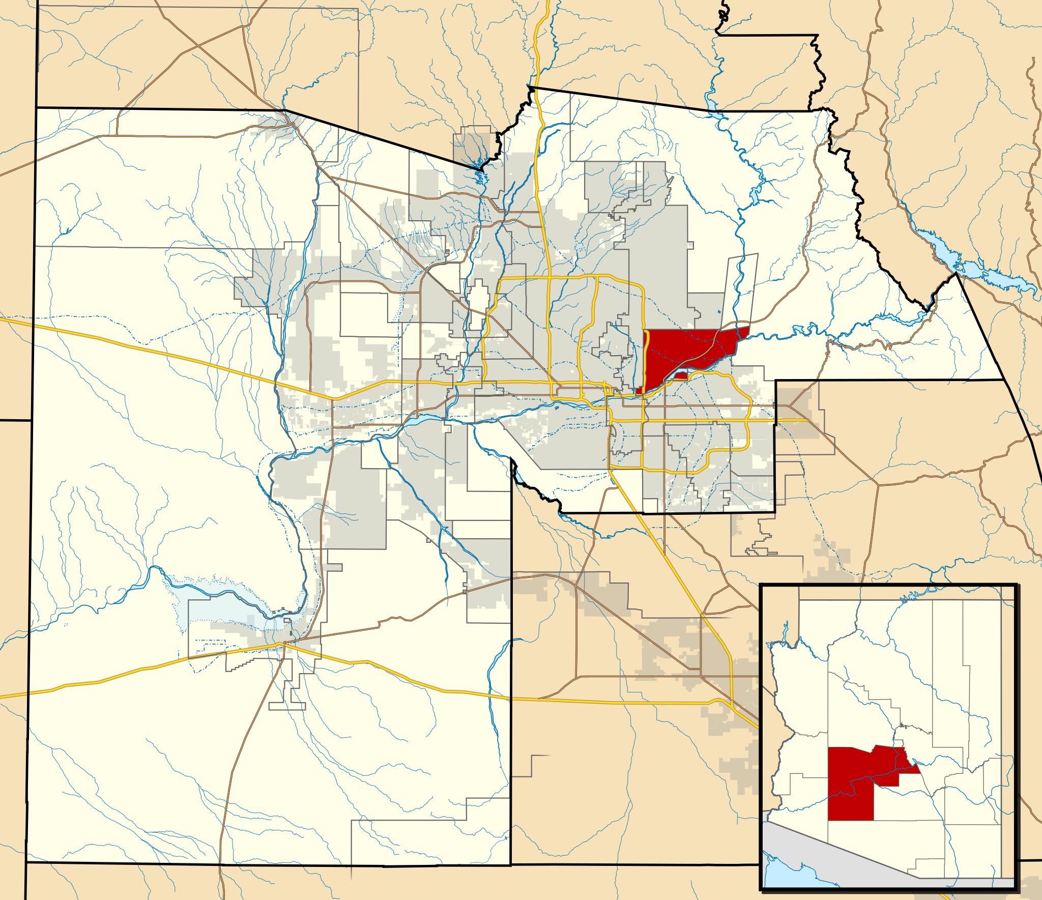
Maricopa County Incorporated and Planning areas SRPMIC highlighted.svg This map shows the incorporated areas and Indian reservation boundaries in Maricopa County Arizona along with water bodies and major highways and roads The Salt River Pima Maricopa Indian Community is highlighted in red Other incorporated cities are shown in gray