Download:
| Tiny | 144x128 | View | Download |
| Small | 288x256 | View | Download |
| Medium | 576x512 | View | Download |
| Original png | 675x600 | View | Download |
| Original as jpg | 675x600 | View | Download |
This image was acquired from
wikimedia. It was marked as Public Domain or CC0 and is free to use. To verify, go to the source and check the information there.
Looking for more info about this image?
Try a Google Reverse Image Search for it.
Try a Google Reverse Image Search for it.
Keywords from Image Description:
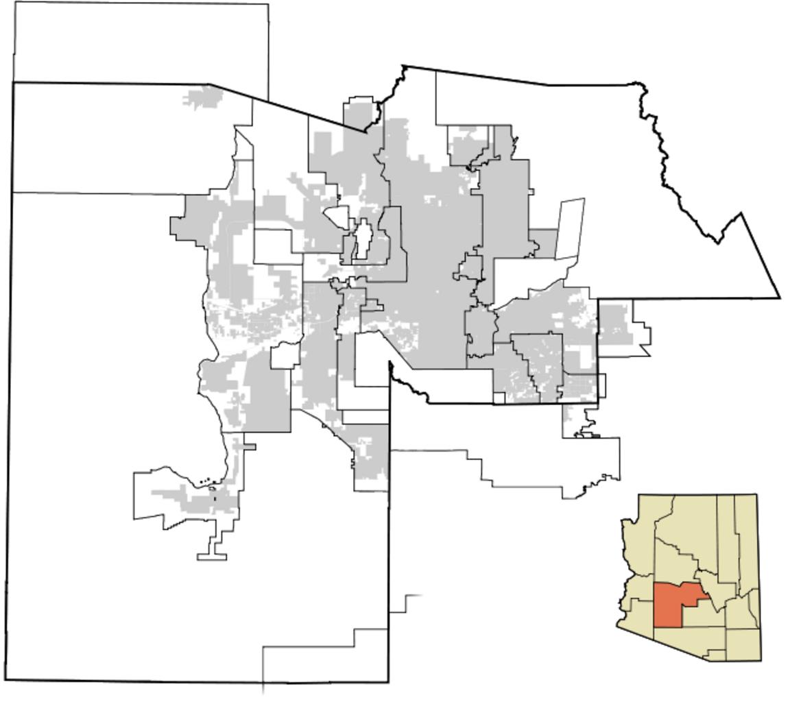
Maricopa County Incorporated and Planning areas April . Some changes in some of the West Valley cities' boundaries since the production of the last images Buckeye Gila Bend Avondale and Surprise have all changed Own Node ue Maps of Maricopa County
