
Related Images


Download:
| Tiny | 236x128 | View | Download |
| Small | 472x256 | View | Download |
| Medium | 944x512 | View | Download |
| Large | 1889x1024 | View | Download |
| Original | 4133x2240 | View | Download |
This image was acquired from
wikimedia. It was marked as Public Domain or CC0 and is free to use. To verify, go to the source and check the information there.
Looking for more info about this image?
Try a Google Reverse Image Search for it.
Try a Google Reverse Image Search for it.
Keywords from Image Description:
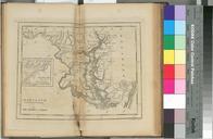
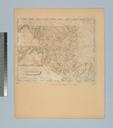
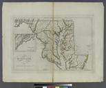
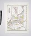
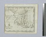
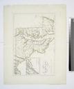
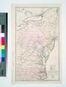
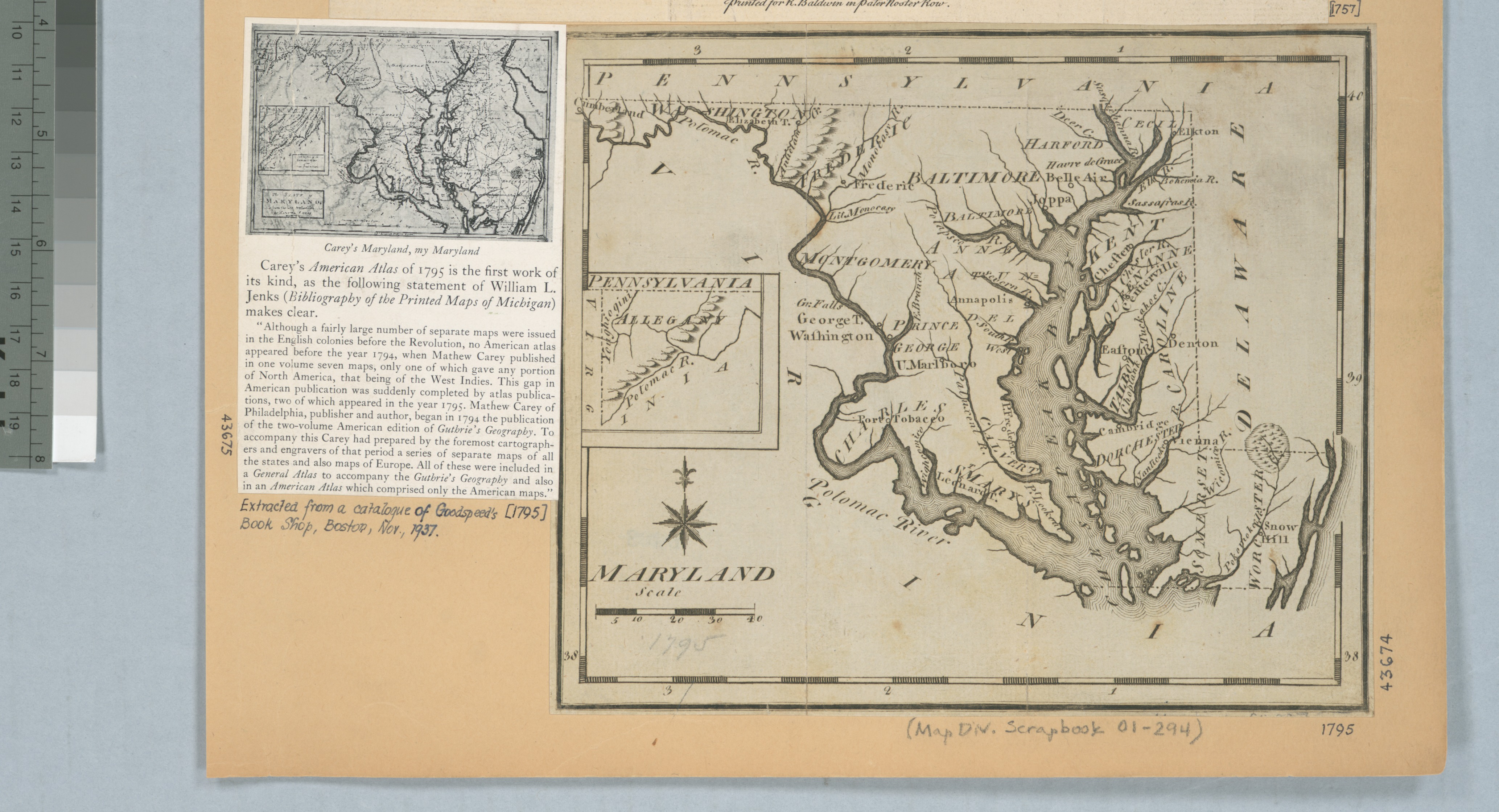
Maryland NYPL b. en Inset western part of Maryland National Endowment for the Humanities Grant for Access to Early Maps of the Middle Atlantic Seaboard Relief shown pictorially This is possibly the map from Joseph Scott's United States gazetteer Citation Phillips Maps of America Citation Wheat Brun nypl org Scan by NYPL Maryland