
Related Images


Download:
| Tiny | 128x128 | View | Download |
| Small | 256x256 | View | Download |
| Medium | 512x512 | View | Download |
| Original | 651x650 | View | Download |
This image was acquired from
wikimedia. It was marked as Public Domain or CC0 and is free to use. To verify, go to the source and check the information there.
Looking for more info about this image?
Try a Google Reverse Image Search for it.
Try a Google Reverse Image Search for it.
Keywords from Image Description:
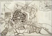
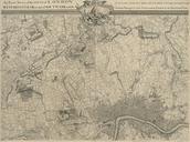
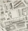
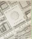
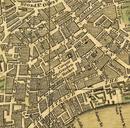
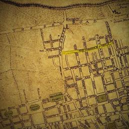
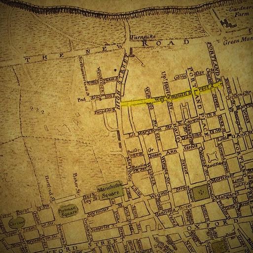
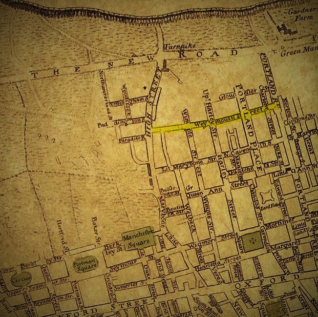
Marylebone Map Clipping from Neuester Grundriss von London Westminster und Southwark . en Clip from map of London Westminster and Southwark drawn by Gottlob Liebe showing Marylebone in circa Weymouth Street outlined yellow had been recently laid out for development LinkNeuester Grundriss von London Westminster und Southwark Plan