Related Images


Download:
| Tiny | 175x128 | View | Download |
| Small | 351x256 | View | Download |
| Medium | 703x512 | View | Download |
| Original | 1240x902 | View | Download |
This image was acquired from
wikimedia. It was marked as Public Domain or CC0 and is free to use. To verify, go to the source and check the information there.
Looking for more info about this image?
Try a Google Reverse Image Search for it.
Try a Google Reverse Image Search for it.
Keywords from Image Description:
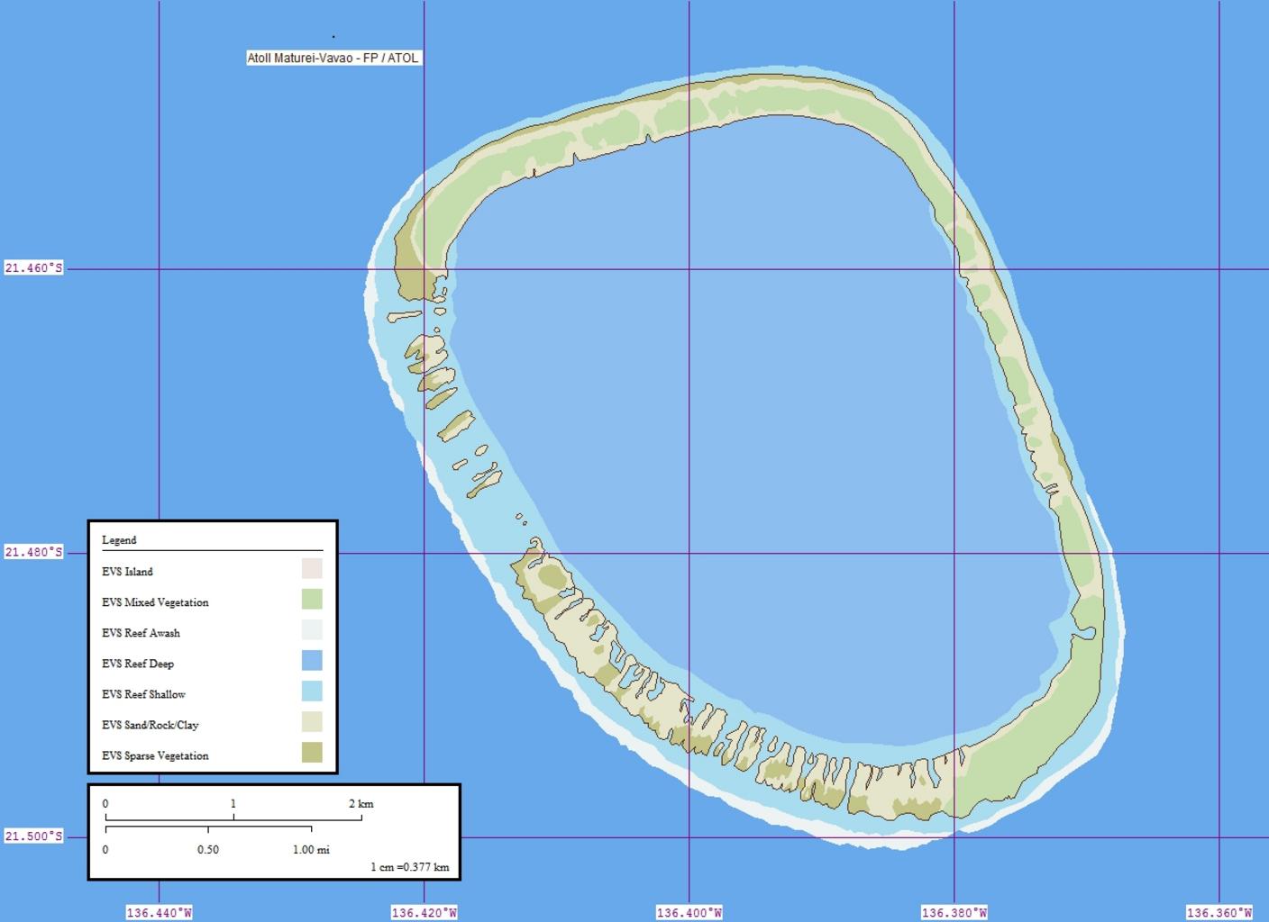
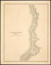
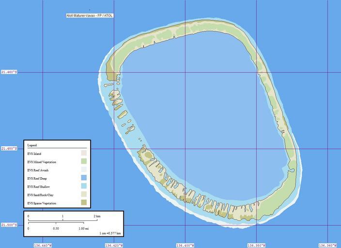
Matureivavao Map. Karte des MatureivavaoAtolls TuamotuArchipel FranzsischPolynesien Map of Matureivavao Atoll Tuamotu Archipelago French Polynesia own work using Landsat Global Mapper and Marplot not specified Peter Minton User Pjminton Peter Minton original upload log date username dimension file size edit summary January Pjminton