Related Images


Download:
| Tiny | 201x128 | View | Download |
| Small | 403x256 | View | Download |
| Medium | 807x512 | View | Download |
| Original svg | 820x520 | View | Download |
| Original as jpg | 820x520 | View | Download |
This image was acquired from
wikimedia. It was marked as Public Domain or CC0 and is free to use. To verify, go to the source and check the information there.
Looking for more info about this image?
Try a Google Reverse Image Search for it.
Try a Google Reverse Image Search for it.
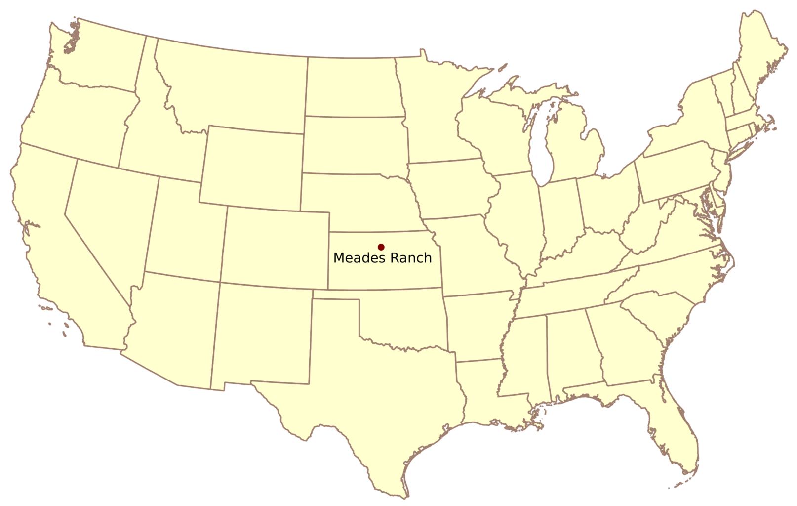
Keywords from Image Description:
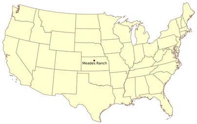
Meades Ranch.svg Meades Ranch the geodetic base point on the Clarke Ellipsoid for the North American Datum of NAD at own Kbhrd thumb left version Created by Kbhrd Geodetic control points Locator maps of Kansas Maps of Osborne County Kansas