
Related Images

Download:
| Tiny | 186x128 | View | Download |
| Small | 373x256 | View | Download |
| Medium | 746x512 | View | Download |
| Original svg | 1128x774 | View | Download |
| Original as jpg | 1128x774 | View | Download |
This image was acquired from
wikimedia. It was marked as Public Domain or CC0 and is free to use. To verify, go to the source and check the information there.
Looking for more info about this image?
Try a Google Reverse Image Search for it.
Try a Google Reverse Image Search for it.
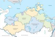
Keywords from Image Description:
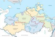
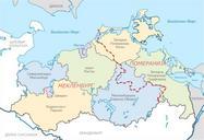
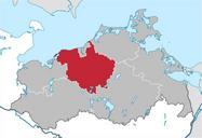
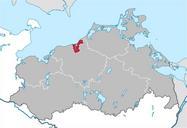
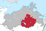
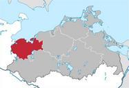
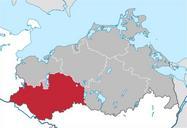
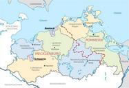
MecklenburgVorpommern Map Districts Border Mecklenburg Western Pomerania Landkreise Grenzen Karte MV MeckPomm.svg MecklenburgVorpommern Germany after county reorganization The redwhite line indicates the former border between the state of Mecklenburg and the Prussian province of Pommerania MecklenburgVorpommern Deutschland nach