
Related Images


Download:
| Tiny | 175x128 | View | Download |
| Small | 350x256 | View | Download |
| Medium | 700x512 | View | Download |
| Large | 1400x1024 | View | Download |
| Original svg | 2046x1496 | View | Download |
| Original as jpg | 2046x1496 | View | Download |
This image was acquired from
wikimedia. It was marked as Public Domain or CC0 and is free to use. To verify, go to the source and check the information there.
Looking for more info about this image?
Try a Google Reverse Image Search for it.
Try a Google Reverse Image Search for it.
Keywords from Image Description:
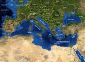
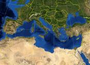
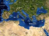
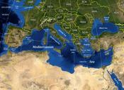
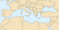
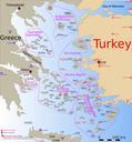
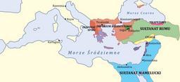
Mediterranean Sea political mapit.svg Map in Italian of the Mediterranean Sea with the borders and the name of the States following the ISO Alpha code Own work br background map screenshot from NASA World Wind Public Domain Eric Gaba Sting All rights released completely blank Image MediterranianSea br with State borders Image MediterraneanSeapoliticalmapblank