Related Images


Download:
| Tiny | 128x128 | View | Download |
| Small | 256x256 | View | Download |
| Medium | 512x512 | View | Download |
| Large | 1024x1024 | View | Download |
| Original | 1280x1280 | View | Download |
This image was acquired from
wikimedia. It was marked as Public Domain or CC0 and is free to use. To verify, go to the source and check the information there.
Looking for more info about this image?
Try a Google Reverse Image Search for it.
Try a Google Reverse Image Search for it.
Keywords from Image Description:
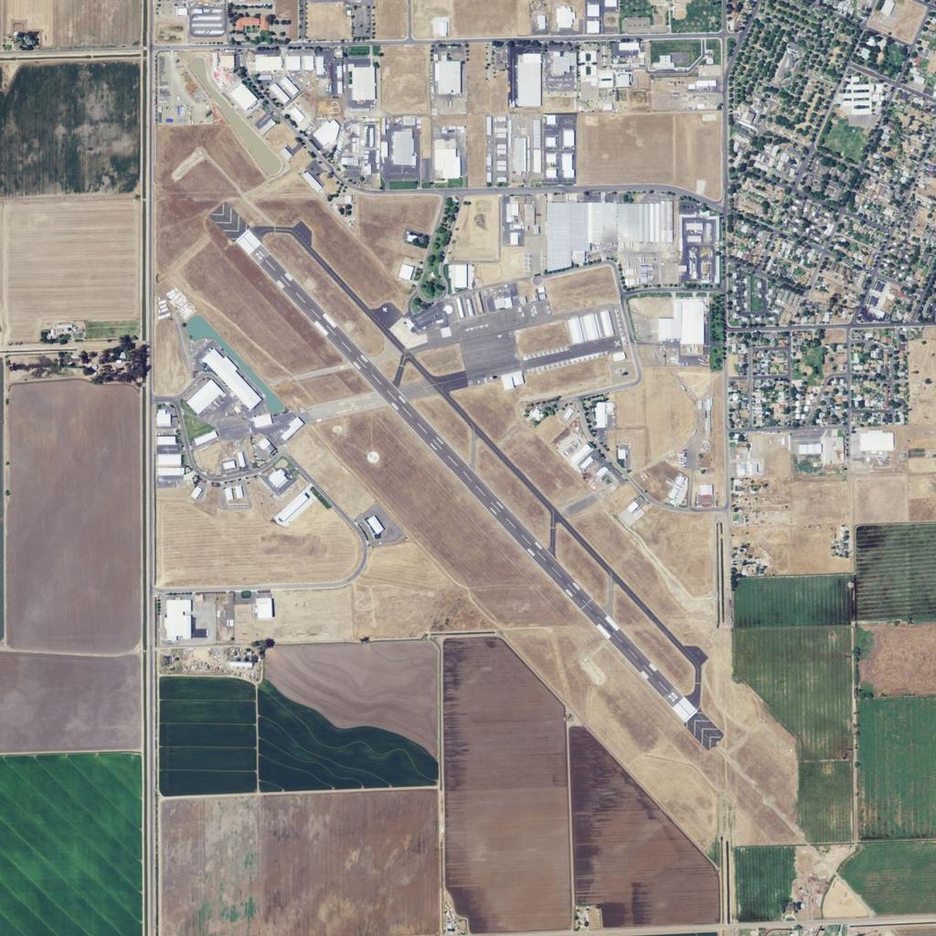
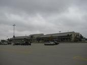
Merced Regional Airport . Merced Regional Airport National Agriculture Imagery Program published by the United States Geological Survey and accessed via TopoQuest topoquest php lat lon datum nad zoom map satm coord mode zoomin size xl United States Department of Agriculture USDA PDUSGov other versions usgs gov PDUSGovUSDA