
Related Images


Download:
| Tiny | 179x128 | View | Download |
| Small | 359x256 | View | Download |
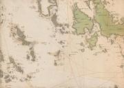
| Medium | 718x512 | View | Download |
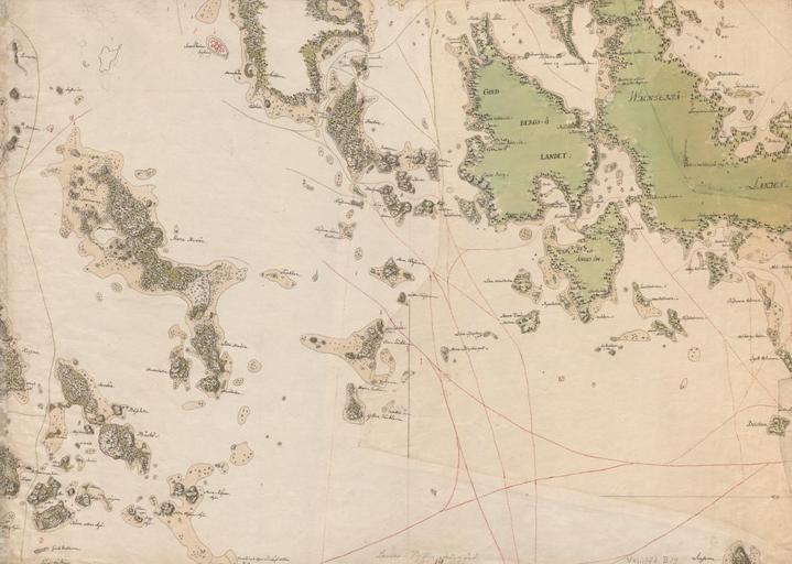
| Original | 1200x855 | View | Download |
This image was acquired from
wikimedia. It was marked as Public Domain or CC0 and is free to use. To verify, go to the source and check the information there.
Looking for more info about this image?
Try a Google Reverse Image Search for it.
Try a Google Reverse Image Search for it.
Keywords from Image Description:
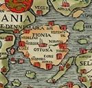
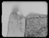
Merikartta Loviisan ja Pyhtn rannikolta. en Map of the archipelago of Loviisa and Pyht in Finland th th century maanmittauslaitos fi Maanmittauslaitos author other versions PDArt Old maps of Finland Uploaded with Maps of Loviisa Maps of Pyht