Related Images


Download:
| Tiny | 160x128 | View | Download |
| Small | 320x256 | View | Download |
| Medium | 640x512 | View | Download |
| Original | 1000x800 | View | Download |
This image was acquired from
wikimedia. It was marked as Public Domain or CC0 and is free to use. To verify, go to the source and check the information there.
Looking for more info about this image?
Try a Google Reverse Image Search for it.
Try a Google Reverse Image Search for it.
Keywords from Image Description:
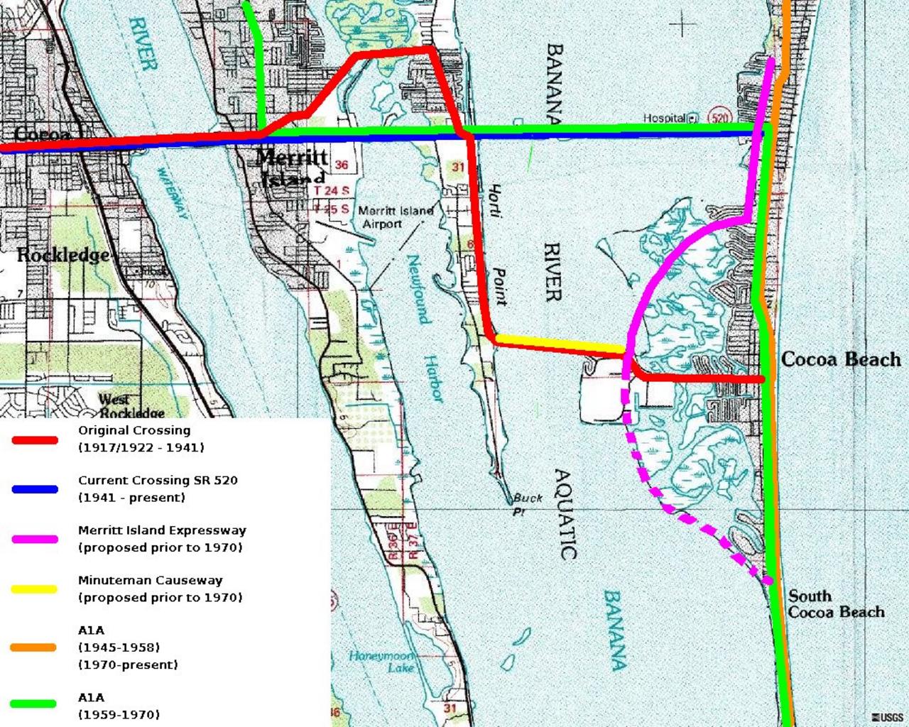
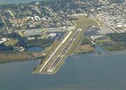
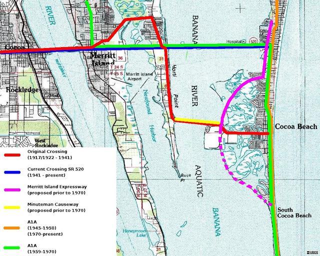
Merritt island causeway. This showns current and former alignments of SR and SR AA in the Cocoa Merrit Island Cocoa Beach area Public domain USGS Background image Current and previous route alignments by Gerald McMillen Mcmillen en en Mcmillen Original upload log en The Bushranger CommonsHelper en Merrittislandcauseway Mcmillen