Related Images


Download:
| Tiny | 102x128 | View | Download |
| Small | 204x256 | View | Download |
| Medium | 409x512 | View | Download |
| Original | 800x1001 | View | Download |
This image was acquired from
wikimedia. It was marked as Public Domain or CC0 and is free to use. To verify, go to the source and check the information there.
Looking for more info about this image?
Try a Google Reverse Image Search for it.
Try a Google Reverse Image Search for it.
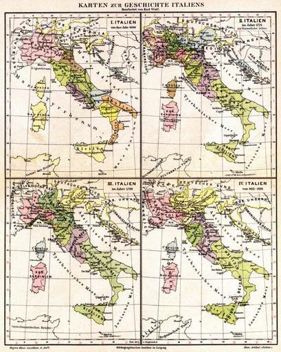
Keywords from Image Description:
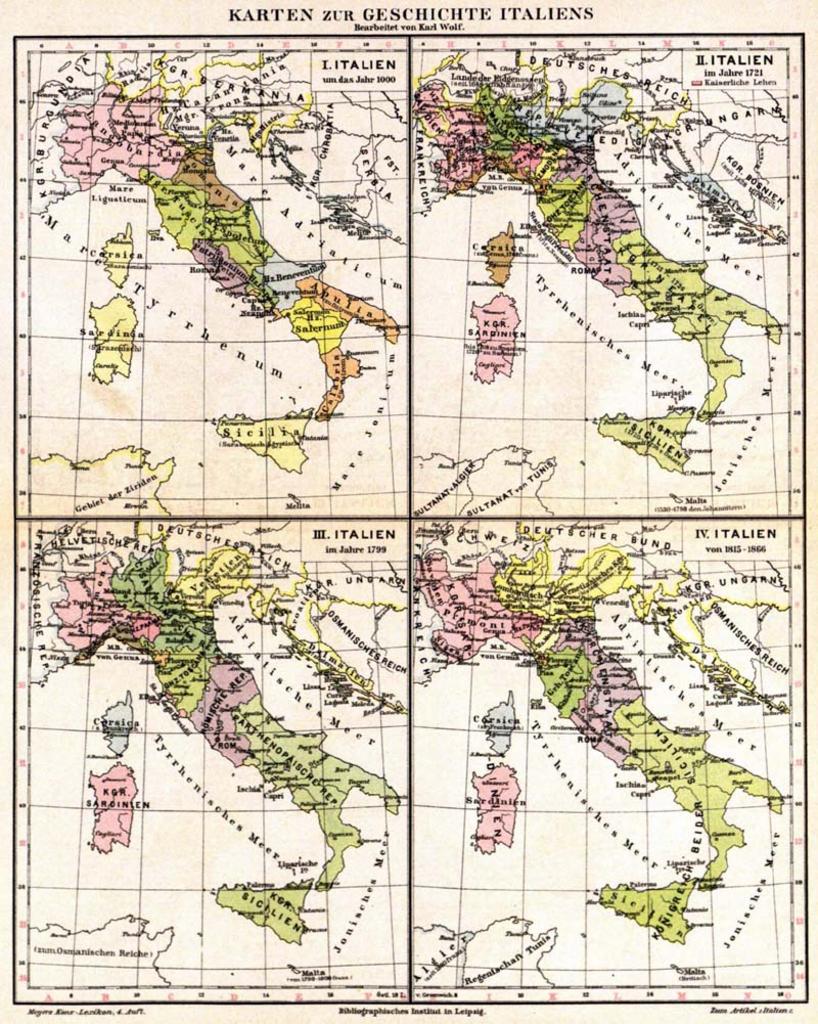
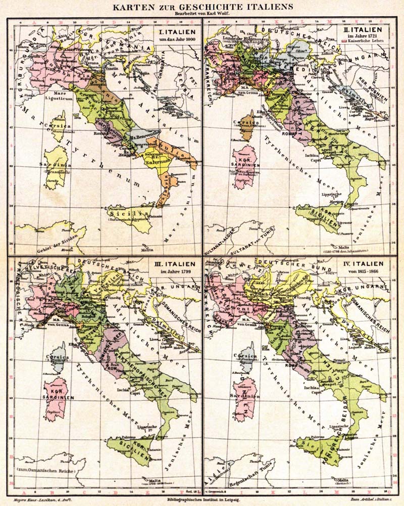
Meyers sa. Old maps of Italy Austria and Dalmatia showing time periods AD The first map has labels in Latin German the other maps in German from German encyclopedia Meyers KonversationsLexikon Alte Karten von Italien sterreich und Dalmatien in Zeitrume Jahr Die erste Karte ist auf Latein und deutsch aber die andere Karten