
Related Images


Download:
| Tiny | 219x128 | View | Download |
| Small | 438x256 | View | Download |
| Medium | 877x512 | View | Download |
| Large | 1755x1024 | View | Download |
| Original png | 2205x1286 | View | Download |
| Original as jpg | 2205x1286 | View | Download |
This image was acquired from
wikimedia. It was marked as Public Domain or CC0 and is free to use. To verify, go to the source and check the information there.
Looking for more info about this image?
Try a Google Reverse Image Search for it.
Try a Google Reverse Image Search for it.
Keywords from Image Description:
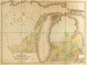
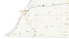
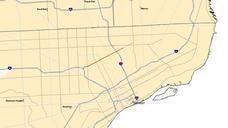
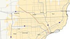
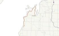
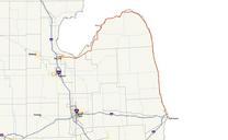
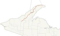
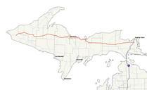
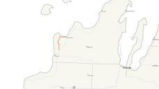
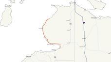
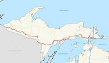
Michigan map. Map of as it existed in just before being decommissioned own using cite web Michigan Center for Geographic Information Geographic Data Library Michigan Department of Information Technology mcgi state mi us rel thext action thmname cid cat MIGeographicFrameworkAllRoads vb July Stratosphere Own work all rights