Related Images


Download:
| Tiny | 215x128 | View | Download |
| Small | 431x256 | View | Download |
| Medium | 863x512 | View | Download |
| Large | 1726x1024 | View | Download |
| Original png | 4350x2580 | View | Download |
| Original as jpg | 4350x2580 | View | Download |
This image was acquired from
wikimedia. It was marked as Public Domain or CC0 and is free to use. To verify, go to the source and check the information there.
Looking for more info about this image?
Try a Google Reverse Image Search for it.
Try a Google Reverse Image Search for it.
Keywords from Image Description:
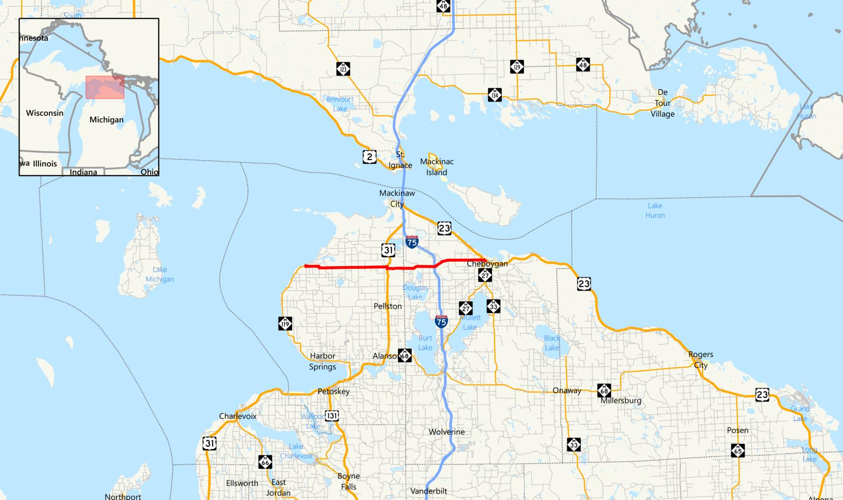
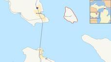
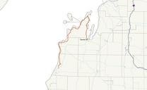
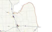
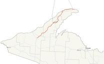
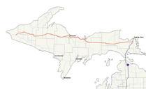
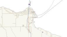
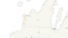
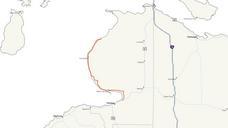
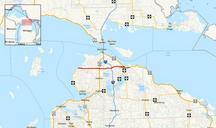
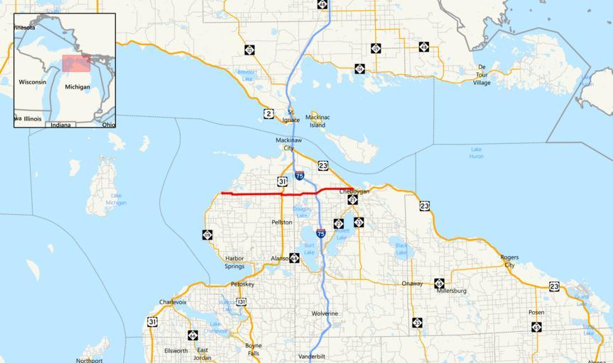
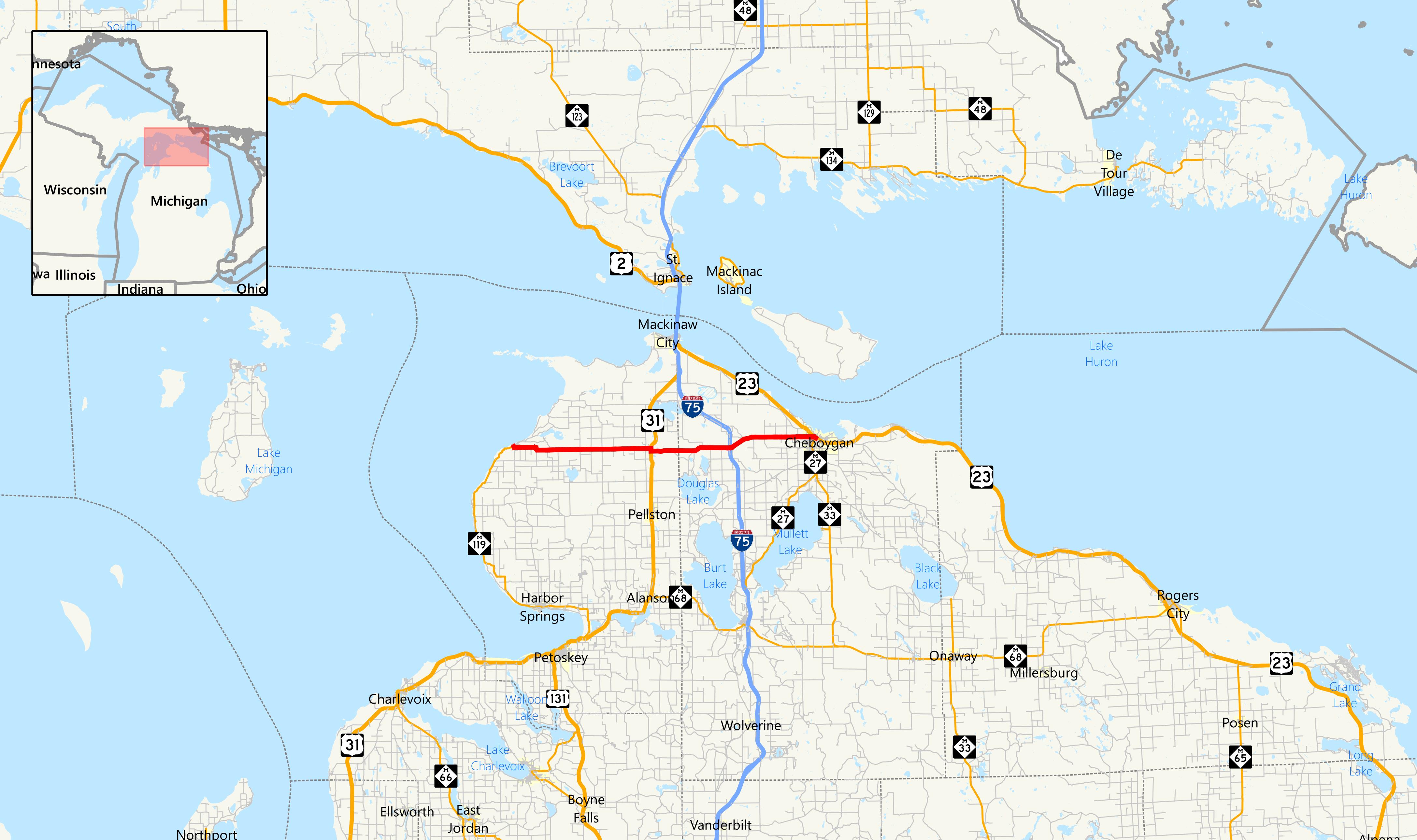
Michigan map. across Emmet and Cheboygan counties in Northern Lower Michigan own br Sources usgs gov html High Resolution NHD Geological Survey February statcan gc ca cfm Provinces Statistics Canada Census Government of Canada mcgi state mi us action thm Michigan Geographic Data Library MI Geographic Framework All Roads