
Related Images


This image was acquired from
wikimedia. It was marked as Public Domain or CC0 and is free to use. To verify, go to the source and check the information there.
Looking for more info about this image?
Try a Google Reverse Image Search for it.
Try a Google Reverse Image Search for it.
Keywords from Image Description:
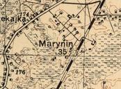
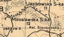
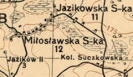
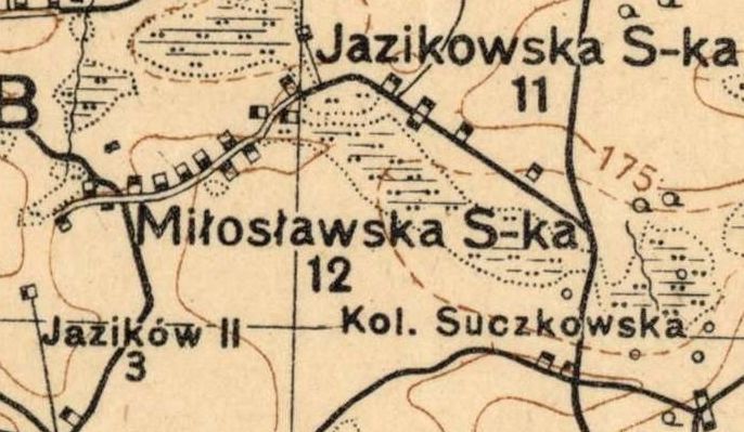
Miosaw na mapie Wojskowego Instytutu Geograficznego r.. pl Miosaw Miosawska Spka pow chemski na mapie Wojskowego Instytutu Geograficznego la Pagus Miloslaw olim Miloslawska Spolka Polonia districtus chelmensis www mapywig org Wojskowy Instytut Geograficzny PDArt Uploaded with Old maps of Poland Gmina RudaHuta