Related Images


Download:
| Tiny | 129x128 | View | Download |
| Small | 258x256 | View | Download |
| Medium | 517x512 | View | Download |
| Original | 534x528 | View | Download |
This image was acquired from
wikimedia. It was marked as Public Domain or CC0 and is free to use. To verify, go to the source and check the information there.
Looking for more info about this image?
Try a Google Reverse Image Search for it.
Try a Google Reverse Image Search for it.
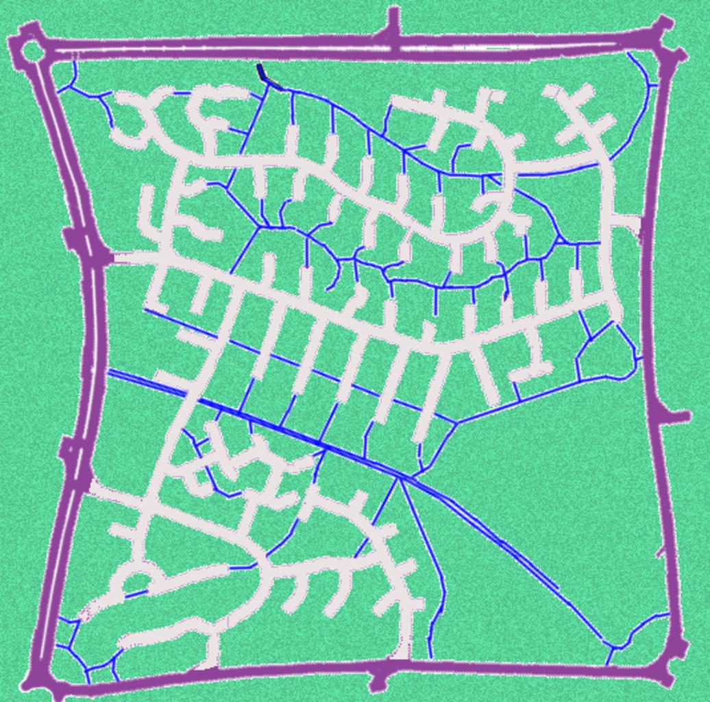
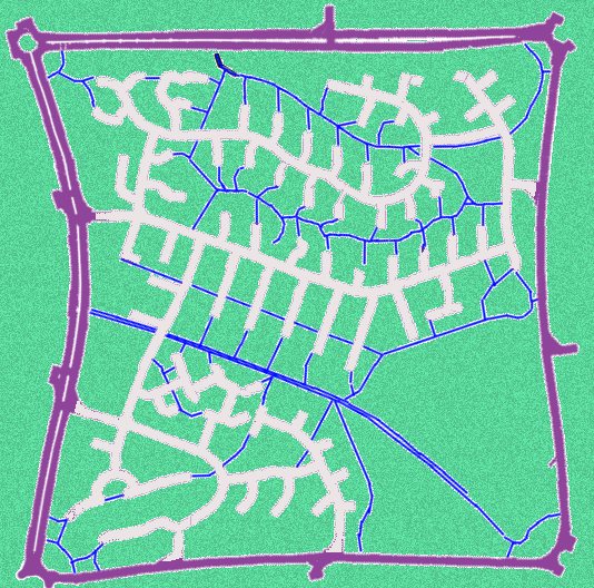
Keywords from Image Description:
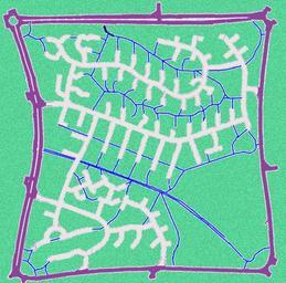
Milton Keynes Sector. city map Milton Keynes town that is enclosed by the km grid of main roads The road network within the sector uses culdesac streets complemented by foot and bike paths own Fgrammen Culsdesac in England Maps of the Borough of Milton Keynes Street network Land development Suburbs Trails in England