
Related Images


Download:
| Tiny | 78x128 | View | Download |
| Small | 156x256 | View | Download |
| Medium | 312x512 | View | Download |
| Large | 625x1024 | View | Download |
| Original | 6087x9969 | View | Download |
This image was acquired from
wikimedia. It was marked as Public Domain or CC0 and is free to use. To verify, go to the source and check the information there.
Looking for more info about this image?
Try a Google Reverse Image Search for it.
Try a Google Reverse Image Search for it.
Keywords from Image Description:
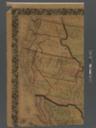
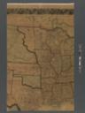
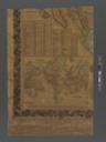
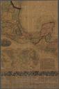
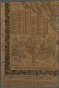
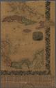
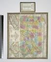
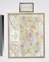
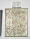
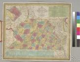
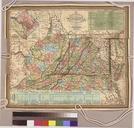
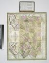
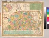
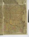
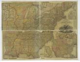
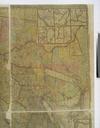
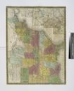
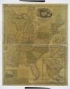
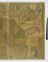
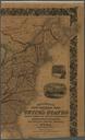
Mitchell's new national map exhibiting the United States NYPL b. en Relief shown by hachures Prime meridians Greenwich and Washington Includes distance census information and statistical tables and decorative border Also includes illustrated vignettes Landing of the Pilgrims Dec nd American steamship crossing the Atlantic Columbus'