Related Images
Download:
| Tiny | 170x128 | View | Download |
| Small | 341x256 | View | Download |
| Medium | 682x512 | View | Download |
| Large | 1365x1024 | View | Download |
| Original | 1600x1200 | View | Download |
This image was acquired from
wikimedia. It was marked as Public Domain or CC0 and is free to use. To verify, go to the source and check the information there.
Looking for more info about this image?
Try a Google Reverse Image Search for it.
Try a Google Reverse Image Search for it.
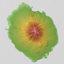
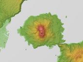
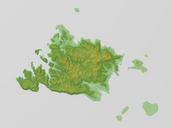
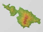
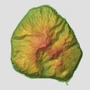
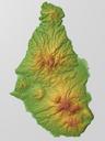
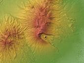
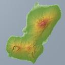
Keywords from Image Description:
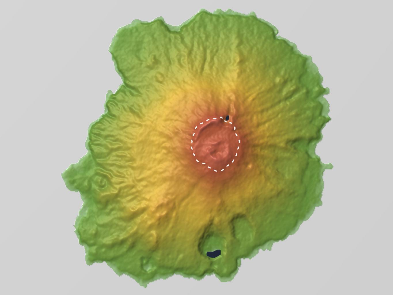
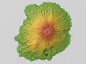
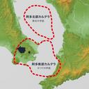
Miyakejima Feb Relief Map SRTM Cldera Rim by Eruption. Relief map of Miyakejima Cldera Rim by June Eruption Izu Islands Japan Data from SRTM Mesh Ver SRTM SRTM Ver NASA jpl nasa gov Shuttle Radar Topography Mission SRTM Mesh Batholith Commons br thumb left px Unmarked PDUSGovNASASRTM Topographic maps of Tokyo