
Related Images


This image was acquired from
wikimedia. It was marked as Public Domain or CC0 and is free to use. To verify, go to the source and check the information there.
Looking for more info about this image?
Try a Google Reverse Image Search for it.
Try a Google Reverse Image Search for it.
Keywords from Image Description:
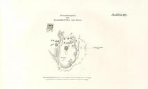
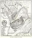
Mnichow plan XIX wieku. pl Mapa Mnichowa wykonana przez von Heldensfelda na pocz XIX wieku Carte von WestGallizien von Heldensfeld Anton Mayer von Heldensfeld Mnichw wojewdztwo witokrzyskie PDold