Related Images


Download:
| Tiny | 24x128 | View | Download |
| Small | 48x256 | View | Download |
| Medium | 97x512 | View | Download |
| Large | 195x1024 | View | Download |
| Original png | 640x3347 | View | Download |
| Original as jpg | 640x3347 | View | Download |
This image was acquired from
wikimedia. It was marked as Public Domain or CC0 and is free to use. To verify, go to the source and check the information there.
Looking for more info about this image?
Try a Google Reverse Image Search for it.
Try a Google Reverse Image Search for it.
Keywords from Image Description:
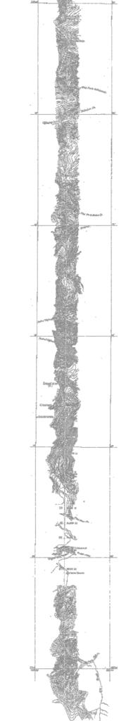
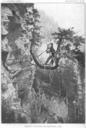
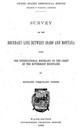
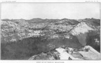
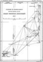
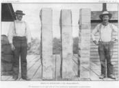
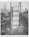
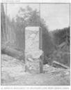
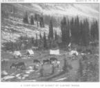
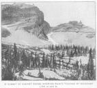
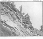
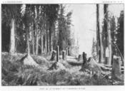
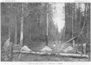
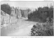
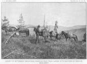
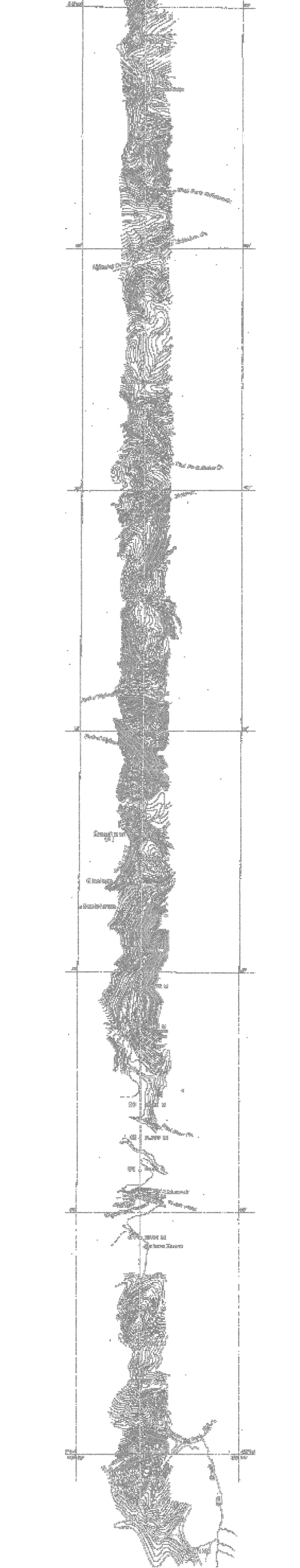
MontanaIdahoBordersouth b. en IdahoMontana Border USGS Survey Report year Southern section of survey topo map image negative transparent overlay with stations marked Surveyed in Survey of the Boundary Line Between Idaho and Montana from the International Boundary to the Crest of the Bitterroot Mountains Surveyed in Printed in