
Related Images


This image was acquired from
wikimedia. It was marked as Public Domain or CC0 and is free to use. To verify, go to the source and check the information there.
Looking for more info about this image?
Try a Google Reverse Image Search for it.
Try a Google Reverse Image Search for it.
Keywords from Image Description:
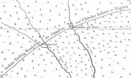
Moseley map. Excerpt of the Edward Moseley map of North Carolina showing the Trading Path PDold original upload log page en Moseleymap '' Upload date User Bytes Dimensions Comment nowrap nowrap Evets nowrap nowrap no Edward Moseley map of North Carolina Check categories January en TradingPath Road transport Indigenous