
Related Images
Download:
| Tiny | 128x128 | View | Download |
| Small | 256x256 | View | Download |
| Medium | 512x512 | View | Download |
| Large | 1024x1024 | View | Download |
| Original | 2000x2000 | View | Download |
This image was acquired from
wikimedia. It was marked as Public Domain or CC0 and is free to use. To verify, go to the source and check the information there.
Looking for more info about this image?
Try a Google Reverse Image Search for it.
Try a Google Reverse Image Search for it.
Keywords from Image Description:
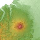
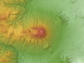
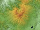
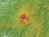
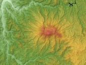
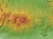
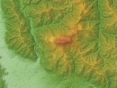
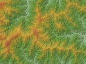
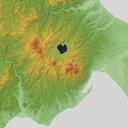
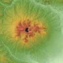
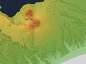
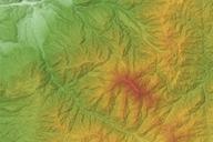
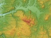
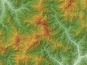
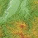
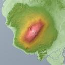
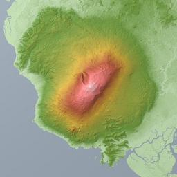
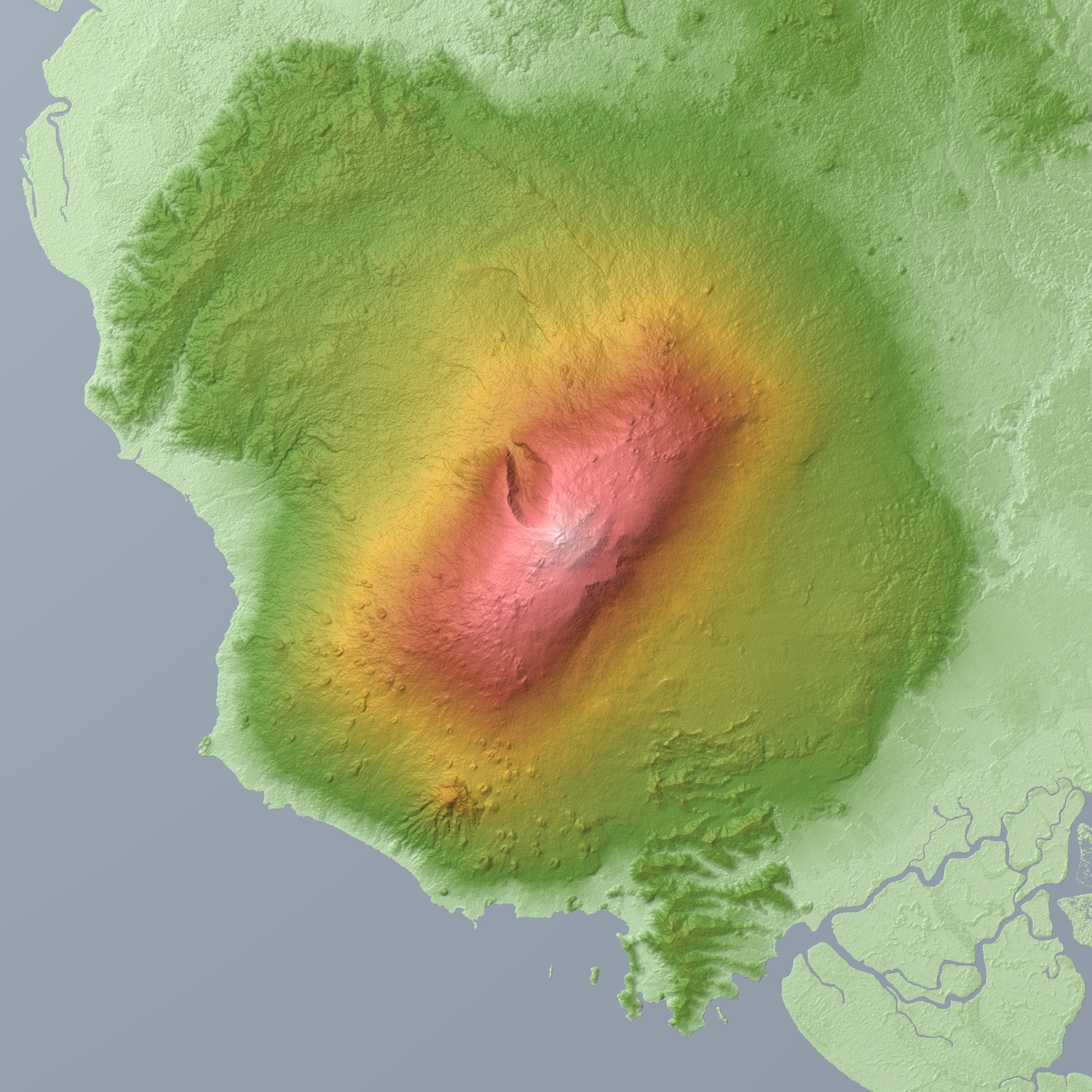
Mount Cameroon Relief Map SRTM. Relief map of Mount Cameroon Cameroon Data from SRTM Mesh Ver SRTM Ver NASA jpl nasa gov Shuttle Radar Topography Mission SRTM Mesh Batholith Commons br PDUSGovNASASRTM Topographic maps of Cameroon Maps of volcanoes of Cameroon Mount Cameroon