
Related Images


Download:
| Tiny | 170x128 | View | Download |
| Small | 341x256 | View | Download |
| Medium | 682x512 | View | Download |
| Original | 991x743 | View | Download |
This image was acquired from
wikimedia. It was marked as Public Domain or CC0 and is free to use. To verify, go to the source and check the information there.
Looking for more info about this image?
Try a Google Reverse Image Search for it.
Try a Google Reverse Image Search for it.
Keywords from Image Description:
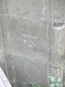
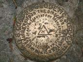
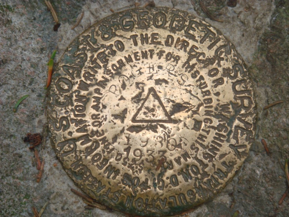
Mount Rogers Benchmark. This is the Coast Geodetic Survey Marker planted in rock at the summit of Mount Rogers The marker is the point used to triangulate the location and elevation of Mount Rogers This image was taken on April by James Scott Ferrebee Roy Perry and Kaden Yealy Transferred from org en transfer was stated to