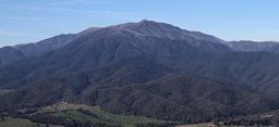
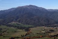
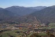
Related Images


This image was acquired from
wikimedia. It was marked as Public Domain or CC0 and is free to use. To verify, go to the source and check the information there.
Looking for more info about this image?
Try a Google Reverse Image Search for it.
Try a Google Reverse Image Search for it.
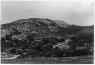
Keywords from Image Description:
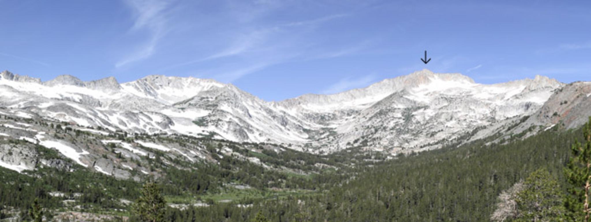
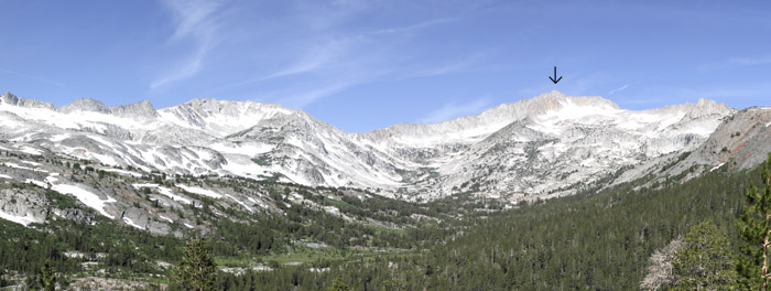
Mt Casson Pano Panoramic Image taken of the Hall Natural Area with Mt Conness under the black arrow the highest point in this photo is actually false summit the real summit is behind and to the right en Phreakdigital en Phreakdigital Original upload log en MtCassonPano Phreakdigital bytes no Image taken of the Hall Wilderness