Related Images


Download:
| Tiny | 194x128 | View | Download |
| Small | 389x256 | View | Download |
| Medium | 778x512 | View | Download |
| Large | 1557x1024 | View | Download |
| Original png | 2395x1575 | View | Download |
| Original as jpg | 2395x1575 | View | Download |
This image was acquired from
wikimedia. It was marked as Public Domain or CC0 and is free to use. To verify, go to the source and check the information there.
Looking for more info about this image?
Try a Google Reverse Image Search for it.
Try a Google Reverse Image Search for it.
Keywords from Image Description:
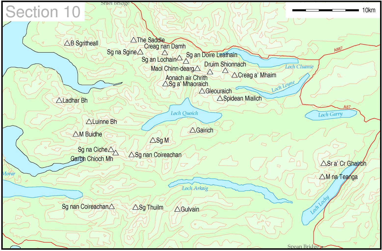
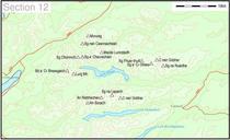
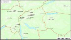
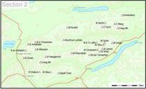
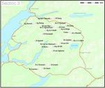
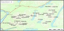
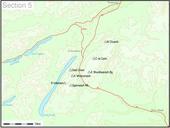
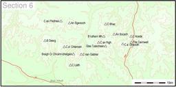
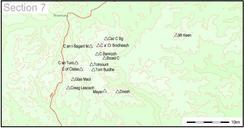
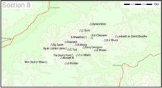
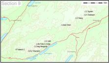
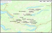
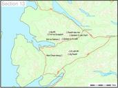
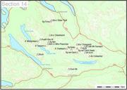
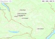
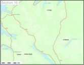
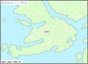
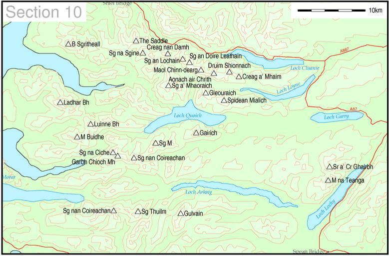
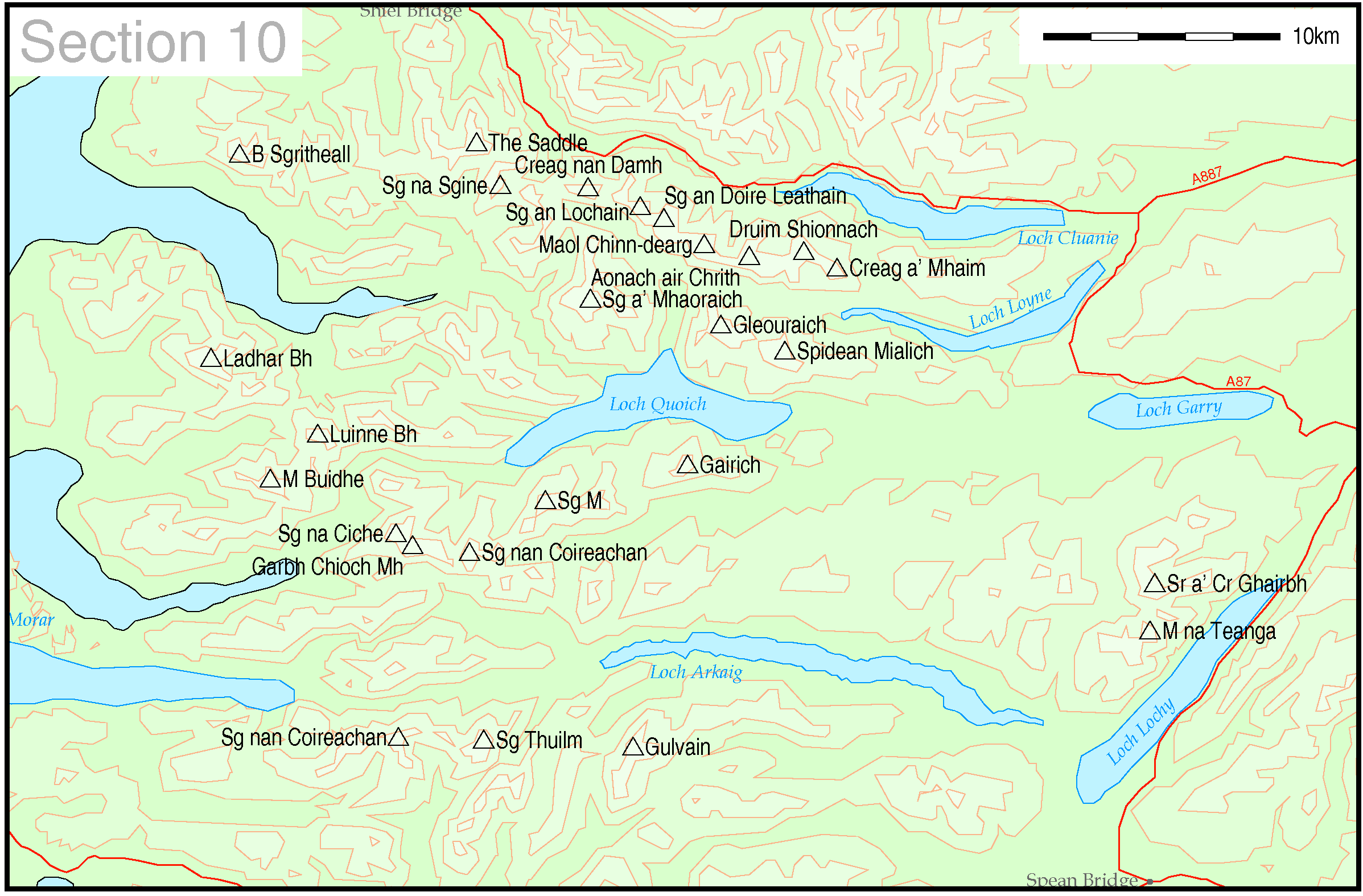
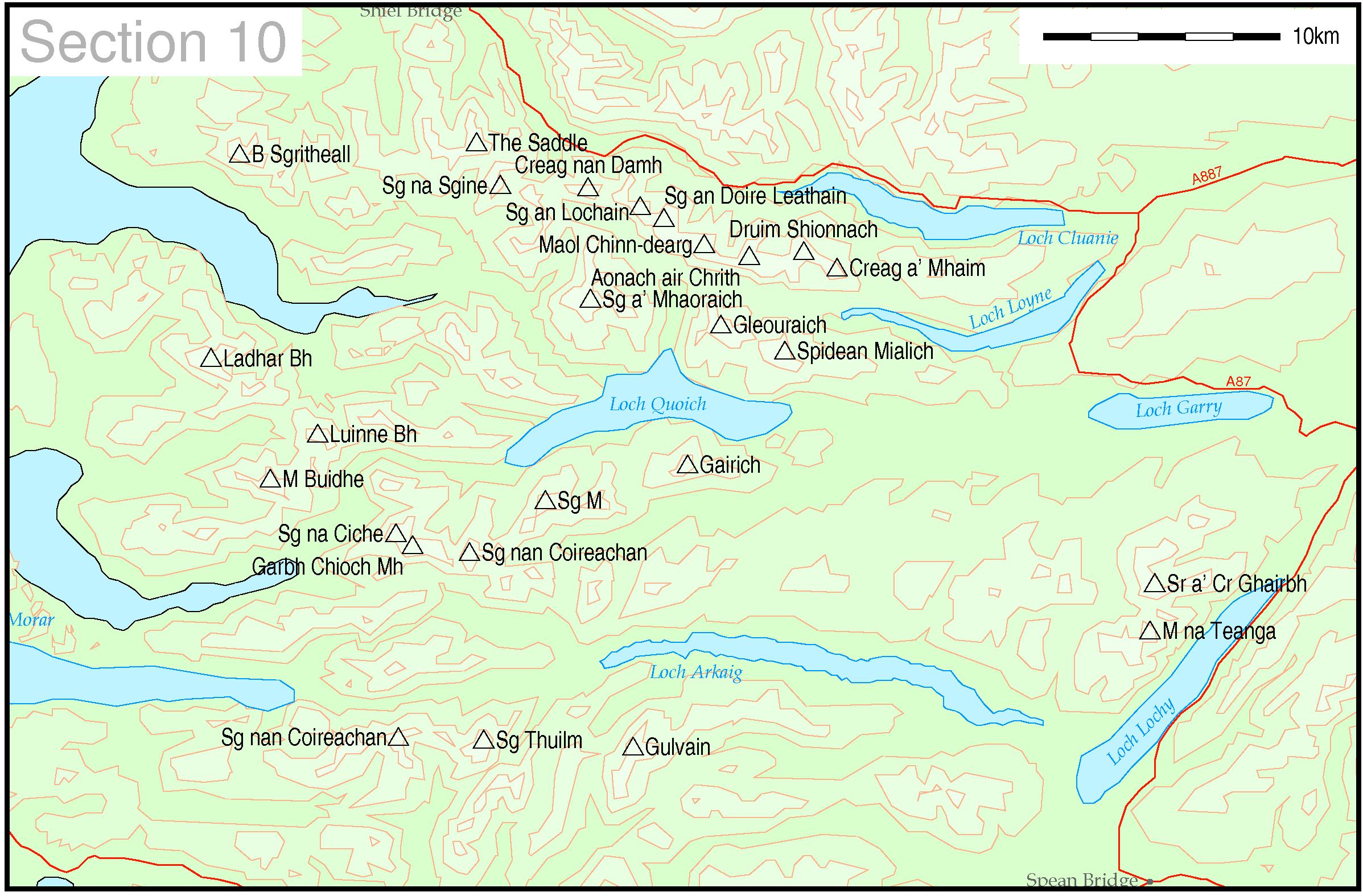
Munrocolourcontourmapsec. Map of Munro hills in SMC section Thruston These maps are created by my own Perl scripts from public domain sources The list of hills and the grid references are from The coastline is derived from data from the US Govt Coast Line Extractor web The contours are derived from data from US Govt SRTM Digital


