
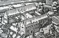
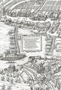
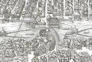
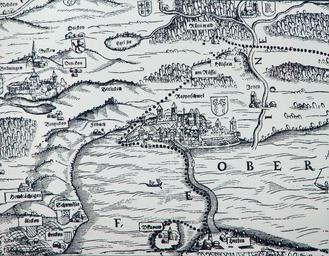
Related Images


Download:
| Tiny | 164x128 | View | Download |
| Small | 328x256 | View | Download |
| Medium | 657x512 | View | Download |
| Large | 1315x1024 | View | Download |
| Original | 2456x1912 | View | Download |
This image was acquired from
wikimedia. It was marked as Public Domain or CC0 and is free to use. To verify, go to the source and check the information there.
Looking for more info about this image?
Try a Google Reverse Image Search for it.
Try a Google Reverse Image Search for it.
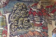
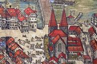
Keywords from Image Description:
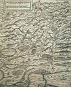
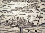
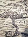
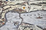
Murerplan Oberes Zrichseegebiet . obere Zrichseegebiet um Rapperswil SG mit den ausgedehnten Wldern Rtner und Joner Wald auf der Karte von Josias Murer aus dem Jahr Nebst heutigen Gemeinden links Grningen oben Bubikon und Rti ZH rechts Jonen Jona SG unten Insel Ufenau und Hurden SZ sind die Rtner Weiler Hlistein Rssel und Matten