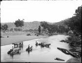
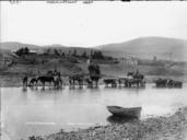
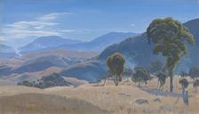
Related Images


Download:
| Tiny | 208x128 | View | Download |
| Small | 417x256 | View | Download |
| Medium | 834x512 | View | Download |
| Original | 1396x857 | View | Download |
This image was acquired from
wikimedia. It was marked as Public Domain or CC0 and is free to use. To verify, go to the source and check the information there.
Looking for more info about this image?
Try a Google Reverse Image Search for it.
Try a Google Reverse Image Search for it.
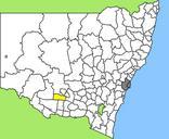
Keywords from Image Description:
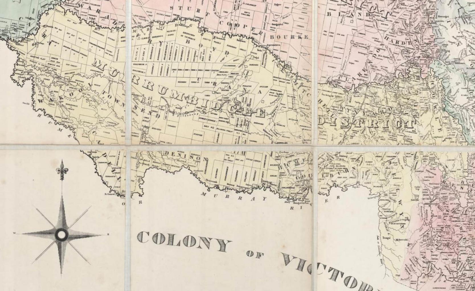
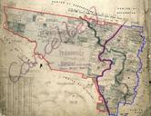
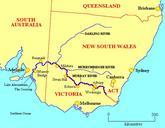
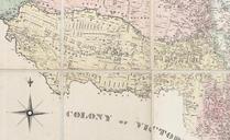
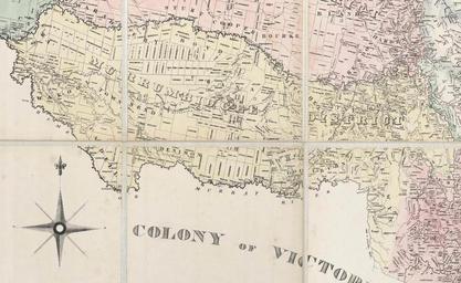
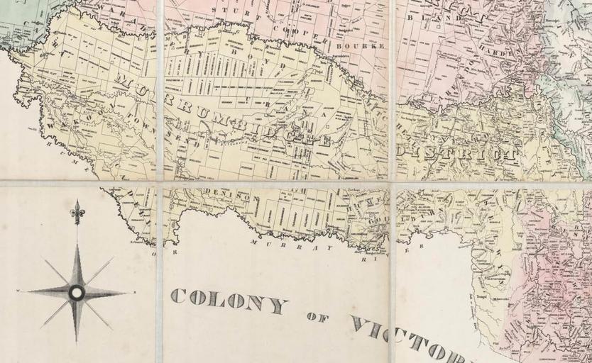
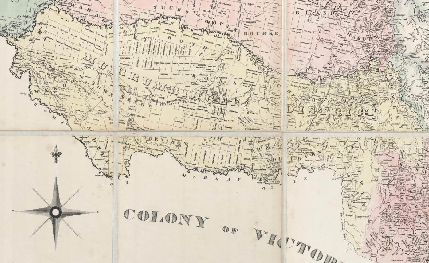
Murrumbidgee District s. Map of the Murrumbidgee District cropped from Reuss Browne's map of New South Wales and part of Queensland showing the relative positions of the pastoral runs squattages districts counties towns reserves etc held at the National Library of Australia gov au mapnk compiled drawn and published on Mercators