
Related Images


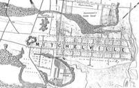
This image was acquired from
wikimedia. It was marked as Public Domain or CC0 and is free to use. To verify, go to the source and check the information there.
Looking for more info about this image?
Try a Google Reverse Image Search for it.
Try a Google Reverse Image Search for it.
Keywords from Image Description:
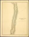
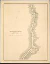
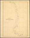
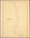
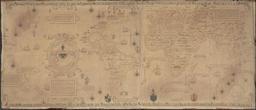
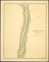
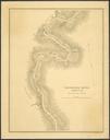
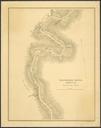
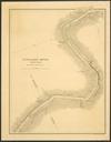
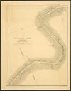
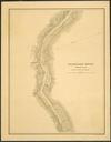
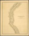
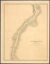
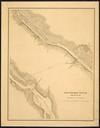
Mville map. Excerpt of Government map showing Mitchelville part of the Port Royal Experiment PDUSGov original upload log page en WTDexcerpt Evets bytes no of Government map showing Mitchelville Old maps of the American Civil War Maps showing African American history Beaufort County South Carolina Historical images of South