
Related Images


Download:
| Tiny | 107x128 | View | Download |
| Small | 215x256 | View | Download |
| Medium | 431x512 | View | Download |
| Large | 863x1024 | View | Download |
| Original | 2224x2636 | View | Download |
This image was acquired from
wikimedia. It was marked as Public Domain or CC0 and is free to use. To verify, go to the source and check the information there.
Looking for more info about this image?
Try a Google Reverse Image Search for it.
Try a Google Reverse Image Search for it.
Keywords from Image Description:
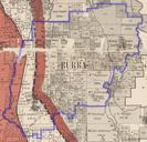
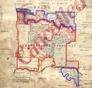
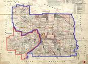
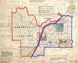
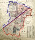
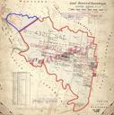
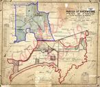
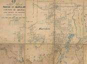
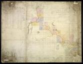
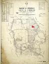
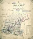
Narrabundah Parish NSW . Map of the former parish of Narrabundah County of Murray Land District of Queanbeyan Eastern Division New South Wales The parish includes what is now South Canberra and Woden including Australia's parliament house Molonglo River marked at the north of this map is now Lake Burley Griffin Mount Taylor is marked