
Related Images


Download:
| Tiny | 90x128 | View | Download |
| Small | 180x256 | View | Download |
| Medium | 361x512 | View | Download |
| Original svg | 594x842 | View | Download |
| Original as jpg | 594x842 | View | Download |
This image was acquired from
wikimedia. It was marked as Public Domain or CC0 and is free to use. To verify, go to the source and check the information there.
Looking for more info about this image?
Try a Google Reverse Image Search for it.
Try a Google Reverse Image Search for it.
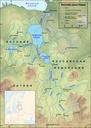
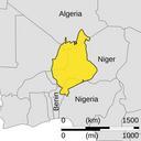
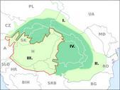
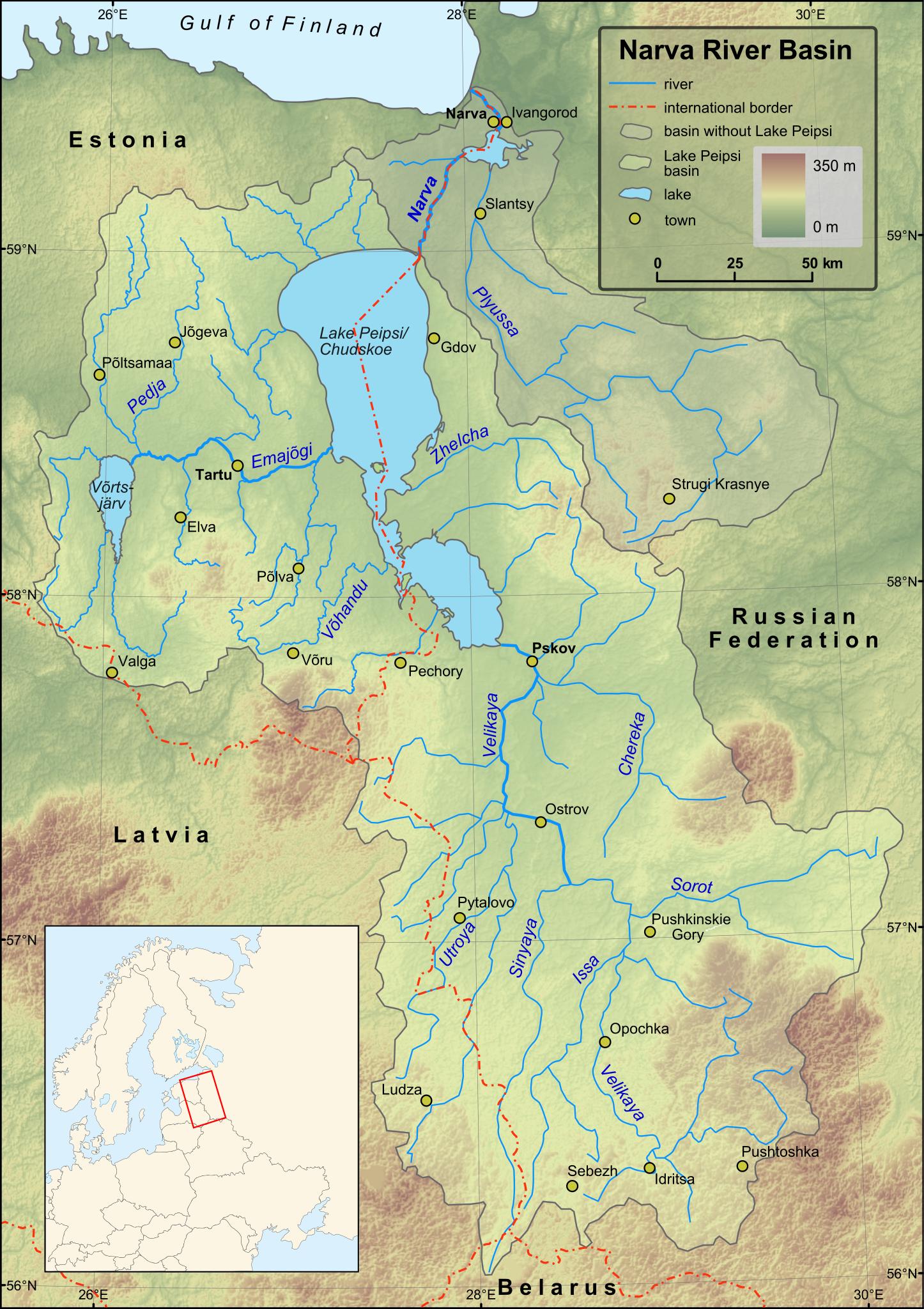
Keywords from Image Description:
Narva basin map.svg Narva River and Lake Peipsi basins Towns with population over according to relevant lists are included on the map Terrain embedded Projection UTM Zone Created in ESRI ArcMap and Inkscape using map from ilec or jp pdf and some other maps for corrections Location map made form Image BlankmapofnortheastEurope