Related Images


Download:
| Tiny | 79x128 | View | Download |
| Small | 159x256 | View | Download |
| Medium | 319x512 | View | Download |
| Large | 638x1024 | View | Download |
| Original | 2980x4779 | View | Download |
This image was acquired from
wikimedia. It was marked as Public Domain or CC0 and is free to use. To verify, go to the source and check the information there.
Looking for more info about this image?
Try a Google Reverse Image Search for it.
Try a Google Reverse Image Search for it.
Keywords from Image Description:
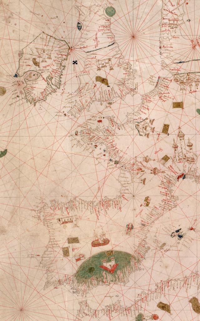
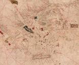
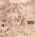
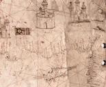
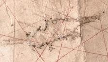
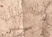
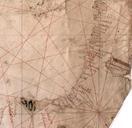
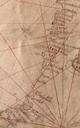
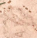
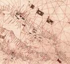
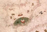
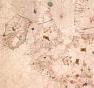
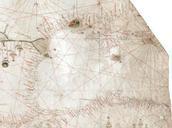
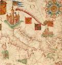
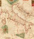
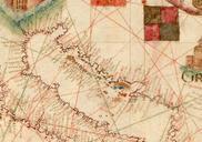
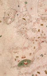
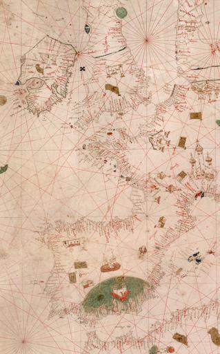
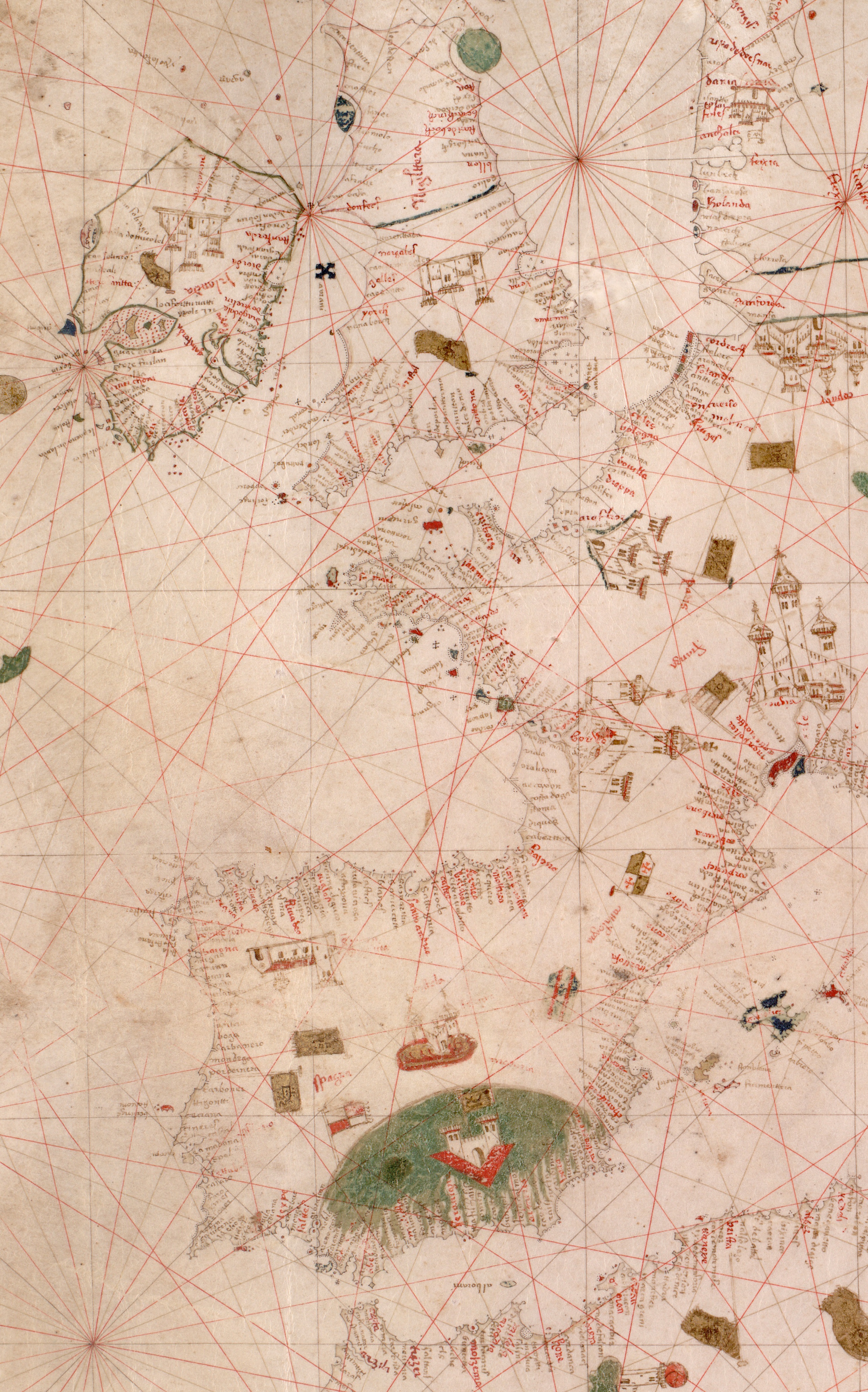
Nautical chart of the Mediterranean area including Europe with British Isles and part of Scandinavia. HM . anonymous PORTOLAN CHART Italy th century.P. Nautical chart of the Mediterranean area including Europe with British Isles and part of Scandinavia CallNumber HM berkeley edu century Creator Unknown DEFAULTSORT Source berkeley