Related Images


Download:
| Tiny | 247x128 | View | Download |
| Small | 494x256 | View | Download |
| Original svg | 868x449 | View | Download |
| Original as jpg | 868x449 | View | Download |
This image was acquired from
wikimedia. It was marked as Public Domain or CC0 and is free to use. To verify, go to the source and check the information there.
Looking for more info about this image?
Try a Google Reverse Image Search for it.
Try a Google Reverse Image Search for it.
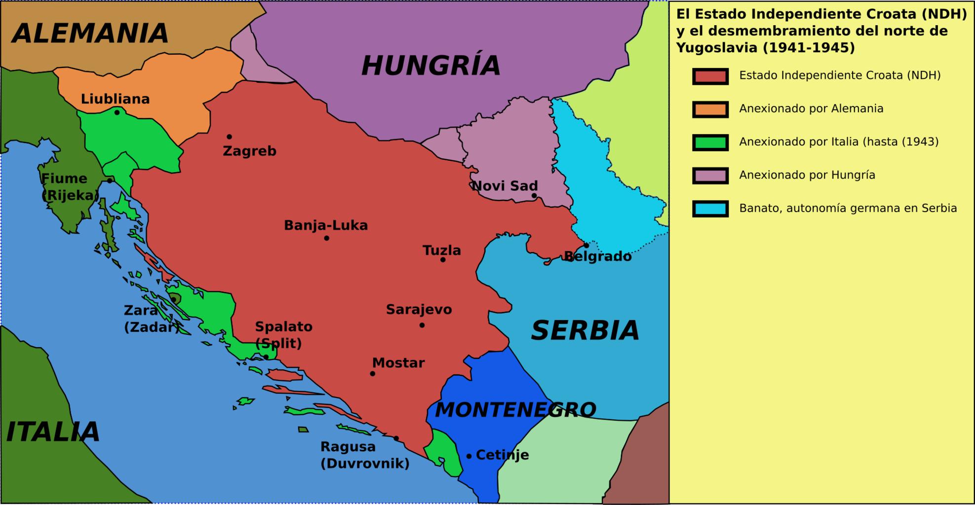
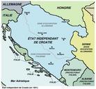
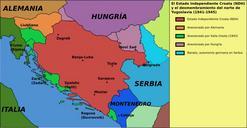
Keywords from Image Description:
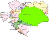
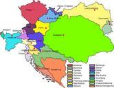
NDHCroacia.svg Italian areas and in brown the Hungarian areas and in blue the German areas es Reparto del norte de Yugoslavia por las potencias del Eje durante la Segunda Guerra Mundial el Estado Independiente Croata NDH Croatia UTC Bucchianeri Marco derivative work Rowanwindwhistler talk Spanish version and map turned into svg