
Related Images


Download:
| Tiny | 192x128 | View | Download |
| Small | 384x256 | View | Download |
| Medium | 768x512 | View | Download |
| Large | 1536x1024 | View | Download |
| Original | 3600x2400 | View | Download |
This image was acquired from
flickr. It was marked as Public Domain or CC0 and is free to use. To verify, go to the source and check the information there.
Looking for more info about this image?
Try a Google Reverse Image Search for it.
Try a Google Reverse Image Search for it.
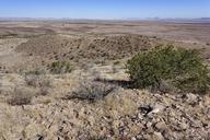
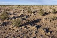
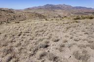
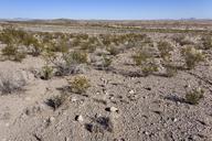
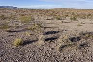
Keywords from Image Description:
Southeastern foothills of Cookes Range at Fort Cummings Cemetery eastnortheast of Massacre Peak . . Luna County New Mexico Nov . Creosote shrubland with Bahia absinthifolia Baileya multiradiata Gutierrezia sarothrae Machaeranthera tanacetifolia Parthenium incanum Descurainia pinnata Cylindropuntia leptocaulis Ephedra trifurca Astragalus