Related Images


Download:
| Tiny | 192x128 | View | Download |
| Small | 384x256 | View | Download |
| Medium | 768x512 | View | Download |
| Large | 1536x1024 | View | Download |
| Original | 3600x2400 | View | Download |
This image was acquired from
flickr. It was marked as Public Domain or CC0 and is free to use. To verify, go to the source and check the information there.
Looking for more info about this image?
Try a Google Reverse Image Search for it.
Try a Google Reverse Image Search for it.
Keywords from Image Description:
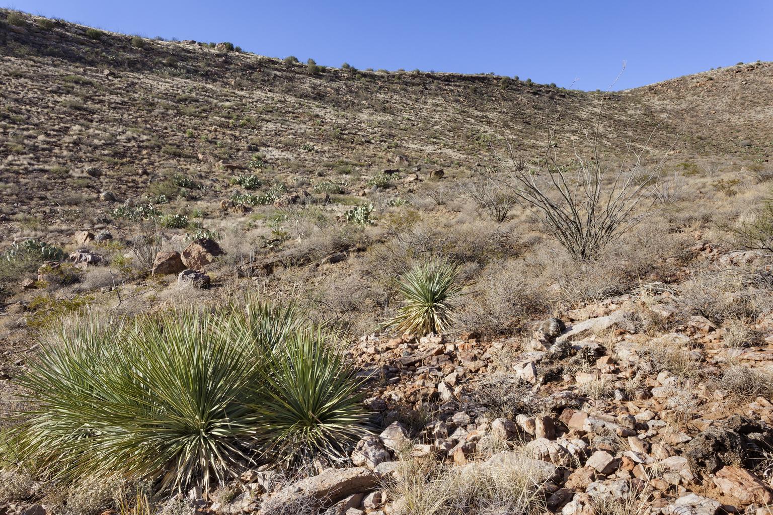
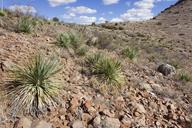
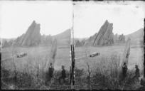
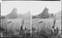
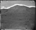
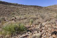
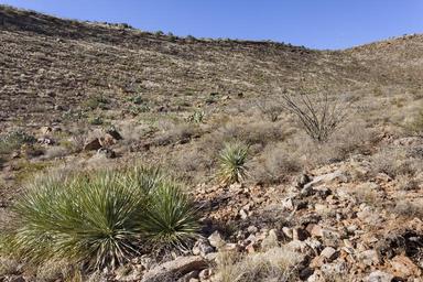
Southeastern Cookes Range on the west side of Fryingpan Canyon northnorthwest of Massacre Peak . . Luna County New Mexico Nov . Dasylirion wheeleri Bahia absinthifolia Gutierrezia sarothrae Parthenium incanum Echinocereus fendleri Ferocactus wislizeni Mammillaria heyderi Opuntia phaeacantha Evolvulus alsinoides Acaciella angustissima