
Related Images


Download:
| Tiny | 107x128 | View | Download |
| Small | 215x256 | View | Download |
| Medium | 430x512 | View | Download |
| Original | 670x796 | View | Download |
This image was acquired from
wikimedia. It was marked as Public Domain or CC0 and is free to use. To verify, go to the source and check the information there.
Looking for more info about this image?
Try a Google Reverse Image Search for it.
Try a Google Reverse Image Search for it.
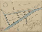
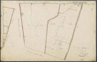
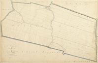
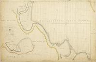
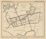
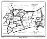
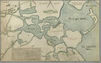
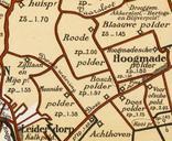
Keywords from Image Description:
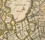
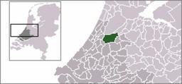
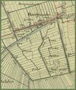
Netherlands Kaag en Braassem Hoogmade map of . nl Hoogmade en enkele omringende polders Prov ZuidHolland Deel van de Topografische militaire kaart Bonnebladkleur uit blad Leiden Kaartnummer Kadaster herkomst als aangegeven op watwaswaar nl een site met historische informatie over elke plek in Nederland en Hoogmade and some surrounding