
Related Images


Download:
| Tiny | 172x128 | View | Download |
| Small | 345x256 | View | Download |
| Medium | 691x512 | View | Download |
| Large | 1383x1024 | View | Download |
| Original | 9447x6991 | View | Download |
This image was acquired from
wikimedia. It was marked as Public Domain or CC0 and is free to use. To verify, go to the source and check the information there.
Looking for more info about this image?
Try a Google Reverse Image Search for it.
Try a Google Reverse Image Search for it.
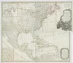
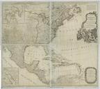
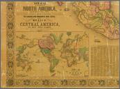
Keywords from Image Description:
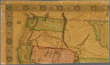
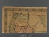
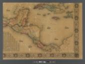
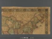
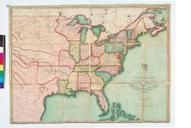
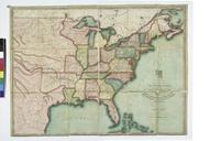
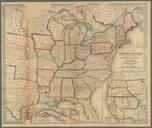
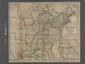
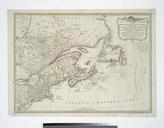
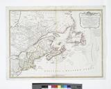
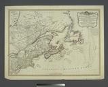
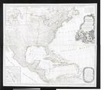
New map of that portion of North America exhibiting the United States and territories the Canadas New Brunswick Nova Scotia and Mexico also Central America and the West India Islands NYPL b. en Relief shown by hachures and spot heights Shows stage roads railroads and canals Prime meridians Greenwich and Washington Includes world