Related Images


Download:
| Tiny | 107x128 | View | Download |
| Small | 215x256 | View | Download |
| Medium | 430x512 | View | Download |
| Large | 861x1024 | View | Download |
| Original | 2358x2804 | View | Download |
This image was acquired from
wikimedia. It was marked as Public Domain or CC0 and is free to use. To verify, go to the source and check the information there.
Looking for more info about this image?
Try a Google Reverse Image Search for it.
Try a Google Reverse Image Search for it.
Keywords from Image Description:
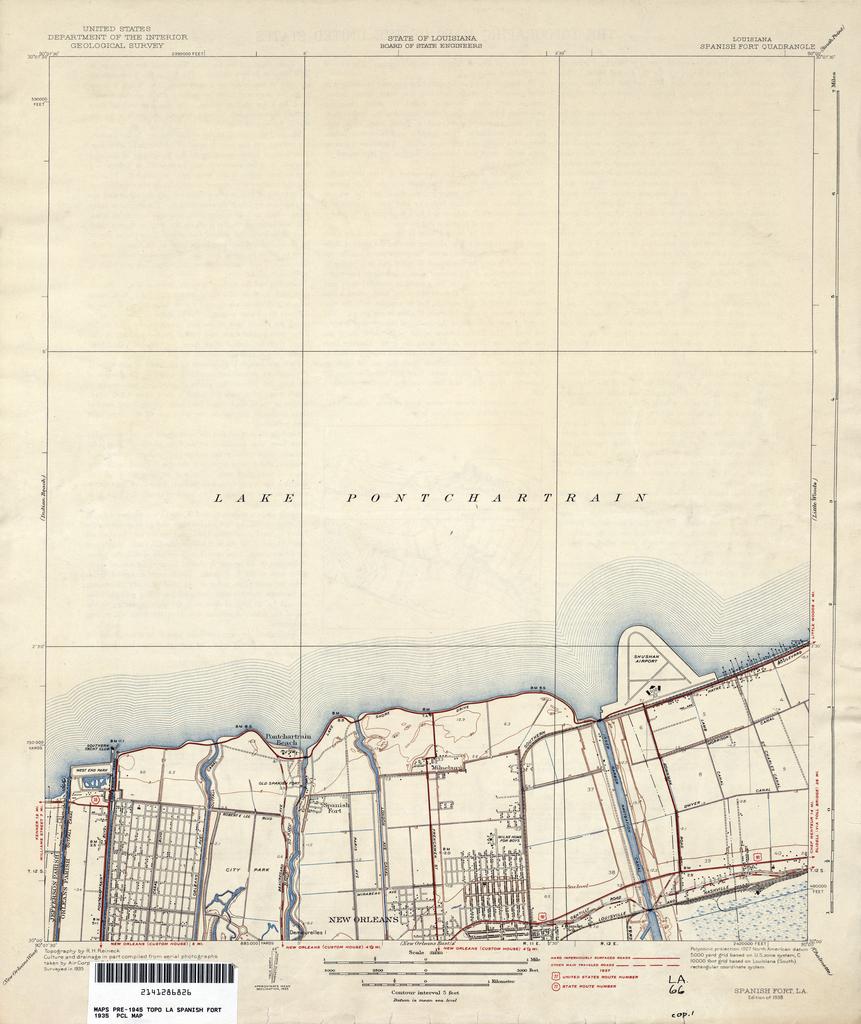
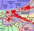
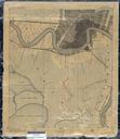
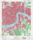
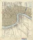
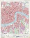
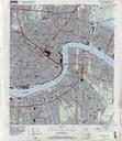
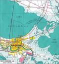
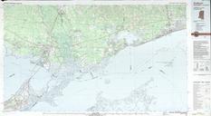
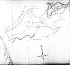
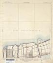
New Orleans Lakefront Map . map of portion of New Orleans showing area along Lake Pontchartrain from West End to Shushan later Lakefront Airport inclusive Geological Survey map via lib utexas edu surveyed published Geological Survey PDUSGov maps in New Orleans old maps of New Orleans Lake Pontchartrain