Related Images


Download:
| Tiny | 190x128 | View | Download |
| Small | 380x256 | View | Download |
| Medium | 760x512 | View | Download |
| Large | 1521x1024 | View | Download |
| Original | 2000x1346 | View | Download |
This image was acquired from
wikimedia. It was marked as Public Domain or CC0 and is free to use. To verify, go to the source and check the information there.
Looking for more info about this image?
Try a Google Reverse Image Search for it.
Try a Google Reverse Image Search for it.
Keywords from Image Description:
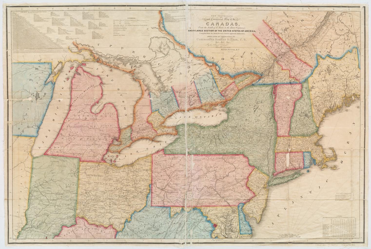
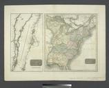
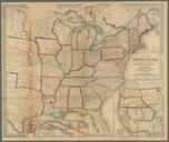
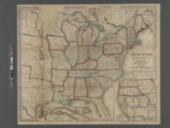
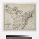
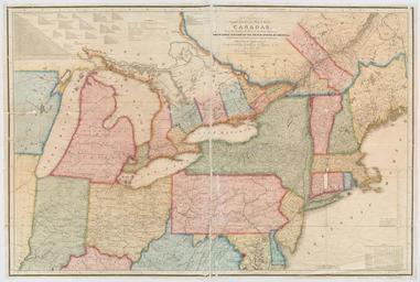
New travelling and commercial map of the Canadas from the Sault of St. Marie to the river Saguenay and large section of the United States of America NYPL b. en Dedicated by permission to Commodore Robert Barrie Includes tables of distances National Endowment for the Humanities Grant for Access to Early Maps of the Middle Atlantic