Download:
| Tiny | 128x128 | View | Download |
| Small | 256x256 | View | Download |
| Medium | 513x512 | View | Download |
| Original | 933x930 | View | Download |
This image was acquired from
wikimedia. It was marked as Public Domain or CC0 and is free to use. To verify, go to the source and check the information there.
Looking for more info about this image?
Try a Google Reverse Image Search for it.
Try a Google Reverse Image Search for it.
Keywords from Image Description:
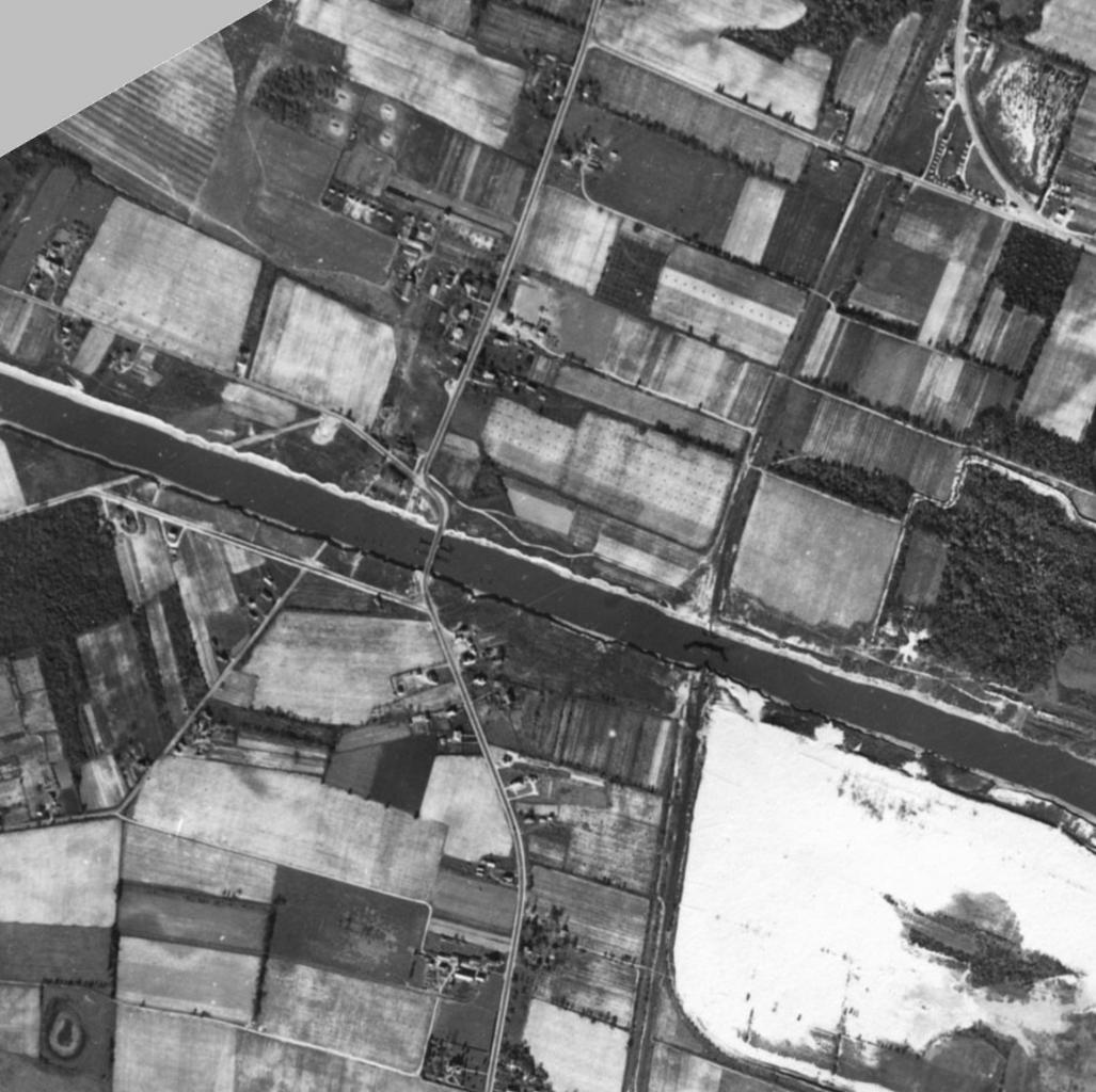
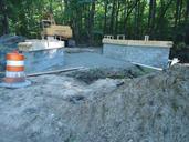
NJ old bridge. PDUSGov aerial photo of the area of the Cape May Canal where Route now crosses Cropped and rotated degrees from wes army mil this image See also Image SR map Cape May svg Source copied from wes army mil New Jersey Shore Location Atlantic shore of New Jersey from Cape May to Normandy Beach Approx geographic
