
Related Images


Download:
| Tiny | 113x128 | View | Download |
| Small | 227x256 | View | Download |
| Medium | 454x512 | View | Download |
| Large | 909x1024 | View | Download |
| Original | 945x1064 | View | Download |
This image was acquired from
wikimedia. It was marked as Public Domain or CC0 and is free to use. To verify, go to the source and check the information there.
Looking for more info about this image?
Try a Google Reverse Image Search for it.
Try a Google Reverse Image Search for it.
Keywords from Image Description:
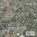
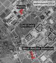
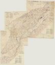
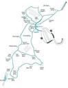
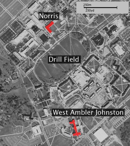
Norris WestAJ Map scale. Map of Virginia tech with Norris and West Ambler Johnston Hall highlighted Basemap from TerraServer USGS Edited version of Image NorrisWestAJMap with scale in yards as well as metres Original by User Dnowacki modified by User Time PD Image NorrisWestAJMap PDUSGovUSGS Virginia Tech massacre