
Related Images
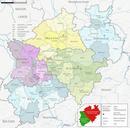


Download:
| Tiny | 293x128 | View | Download |
| Small | 587x256 | View | Download |
| Medium | 1174x512 | View | Download |
| Large | 2349x1024 | View | Download |
| Original svg | 8000x3486 | View | Download |
| Original as jpg | 8000x3486 | View | Download |
This image was acquired from
wikimedia. It was marked as Public Domain or CC0 and is free to use. To verify, go to the source and check the information there.
Looking for more info about this image?
Try a Google Reverse Image Search for it.
Try a Google Reverse Image Search for it.
Keywords from Image Description:
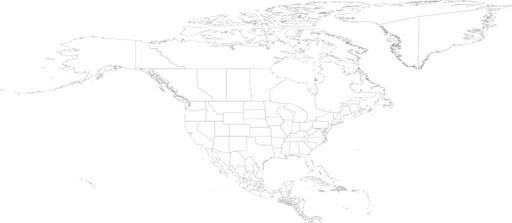
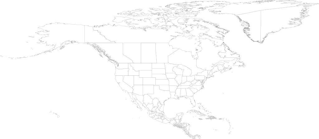
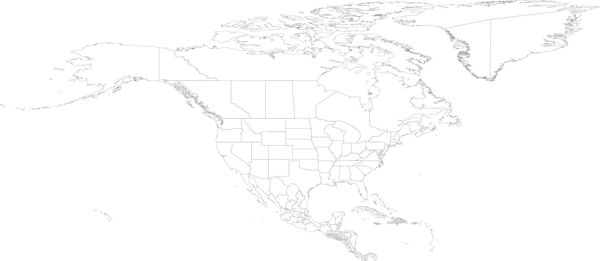
North america.svg NOTE On this map Michigan is combined with the Great Lakes This file is very large It takes MB of memory MB on bit system just to open it in inkscape Map of North America as of with first level administrative units See also Image World svg world shp from the US CDC cdc gov doc Translated to SVG by User Brianski